Campbell River night lights from space
Night Light of Campbell River (British Columbia) from space (Canada) Src. Average luminocity for 10x10km area is 22.4636% and for 50x50km: 1.2651%.
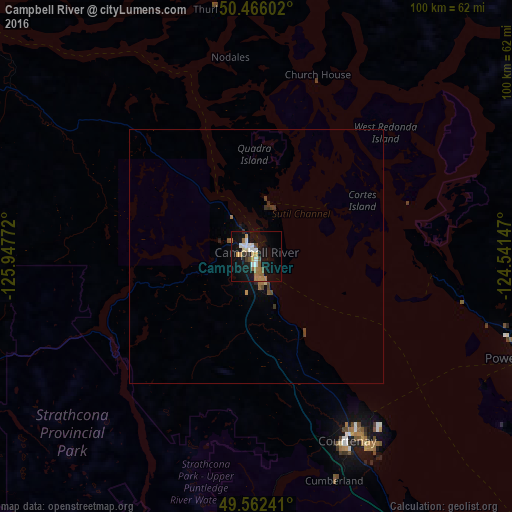

Analysis of Campbell River night lights 2016
Square area 10x10 km:
 3.22%
3.22%90-99
3.5%80-89
1.82%70-79
3.64%60-69
5.04%50-59
2.8%40-49
0.7%30-39
1.54%20-29
0.42%10-19
28.99%0-9
48.32%Square area 50x50 km:
0.13%90-99
0.14%80-89
0.09%70-79
0.17%60-69
0.27%50-59
0.18%40-49
0.18%30-39
0.17%20-29
0.09%10-19
1.25%0-9
97.33%Clear (daylight) street map image can be seen on geolist.org.
Map coordinates:
50° 27' 57.7" North, 125° 56' 51.8" West
50° 0' 58.8" North, 125° 14' 40.5" West
49° 33' 44.7" North, 124° 32' 29.3" West
Some cities around Campbell River sort by population:
• Nanaimo
133.3 km =82.8 mi,  135°
135°
• Vernon
79.8 km =49.6 mi,  270°
270°
• Courtenay
40.8 km =25.4 mi,  153°
153°
• Port Alberni
91.9 km =57.1 mi,  159°
159°
• Powell River
55.5 km =34.5 mi,  111°
111°
• Parksville
102.3 km =63.6 mi, 139°
• Sechelt
122.5 km =76.1 mi,  119°
119°
• Gibsons
142.8 km =88.7 mi, 118°
5914132 (p: 33,430)
Sources (retrieved 2019-11-25):
» Earth at Night: Flat Maps 2012, 2016