Port Alberni night lights from space
Night Light of Port Alberni (British Columbia) from space (Canada) Src. Average luminocity for 10x10km area is 17.3837% and for 50x50km: 0.8167%.

Analysis of Port Alberni night lights 2016
Square area 10x10 km:
 3.21%
3.21%90-99
3.74%80-89
2.01%70-79
0.8%60-69
0.94%50-59
2.14%40-49
2.41%30-39
1.87%20-29
1.07%10-19
14.97%0-9
66.84%Square area 50x50 km:
0.13%90-99
0.16%80-89
0.08%70-79
0.03%60-69
0.04%50-59
0.09%40-49
0.16%30-39
0.12%20-29
0.05%10-19
0.62%0-9
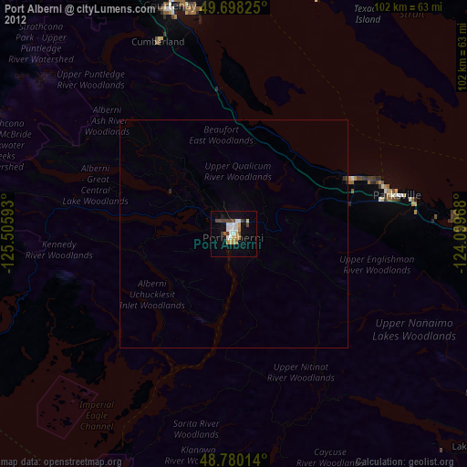
98.52%Clear (daylight) street map image can be seen on geolist.org.
Map coordinates:
49° 41' 53.7" North, 125° 30' 21.3" West
49° 14' 28.8" North, 124° 48' 10.1" West
48° 46' 48.5" North, 124° 5' 58.8" West
Some cities around Port Alberni sort by population:
• Nanaimo
63.2 km =39.3 mi,  97°
97°
• Campbell River
91.9 km =57.1 mi,  339°
339°
• Courtenay
51.4 km =31.9 mi, 344°
• North Cowichan
92.8 km =57.7 mi,  118°
118°
• Powell River
68.8 km =42.8 mi,  17°
17°
• Parksville
36.4 km =22.6 mi,  76°
76°
• Sechelt
79.9 km =49.6 mi,  71°
71°
• Ladysmith
77 km =47.8 mi,  111°
111°
6111632 (p: 20,712)
Sources (retrieved 2019-11-25):
» Earth at Night: Flat Maps 2012, 2016