Nanaimo night lights from space
Night Light of Nanaimo (British Columbia) from space (Canada) Src. Average luminocity for 10x10km area is 33.3613% and for 50x50km: 3.1978%.
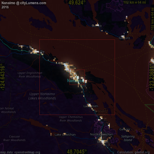
Analysis of Nanaimo night lights 2016
Square area 10x10 km:
 4.76%
4.76%90-99
4.2%80-89
0.84%70-79
5.46%60-69
8.4%50-59
6.02%40-49
6.16%30-39
2.38%20-29
3.64%10-19
39.5%0-9
18.63%Square area 50x50 km:
0.4%90-99
0.43%80-89
0.11%70-79
0.36%60-69
0.59%50-59
0.56%40-49
0.55%30-39
0.26%20-29
0.53%10-19
3.29%0-9
92.91%Clear (daylight) street map image can be seen on geolist.org.
Map coordinates:
49° 37' 26.4" North, 124° 38' 35.4" West
49° 9' 59" North, 123° 56' 24.1" West
48° 42' 16.2" North, 123° 14' 12.9" West
Some cities around Nanaimo sort by population:
• Richmond
58.4 km =36.3 mi,  89°
89°
• North Cowichan
40.6 km =25.2 mi,  152°
152°
• Duncan
46 km =28.6 mi,  157°
157°
• Parksville
32.1 km =19.9 mi,  301°
301°
• Salt Spring Island
50.7 km =31.5 mi,  139°
139°
• Sechelt
36.7 km =22.8 mi,  20°
20°
• Ladysmith
21.5 km =13.4 mi, 155°
• Gibsons
40.5 km =25.2 mi,  51°
51°
6085772 (p: 84,905)
Sources (retrieved 2019-11-25):
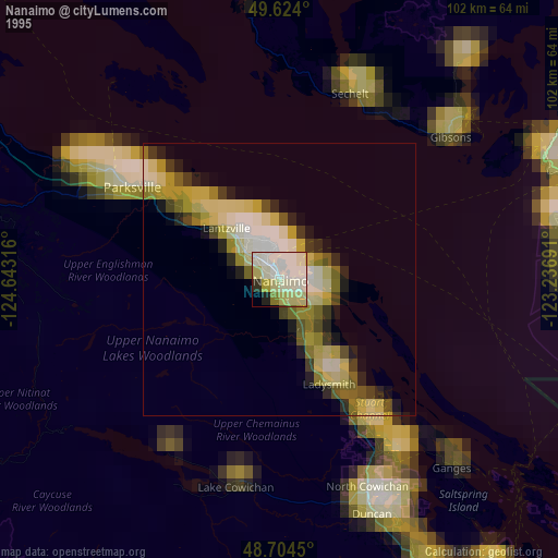
» NASA, Earths city lights 1995
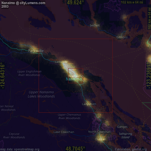
» NASA city lights 2003
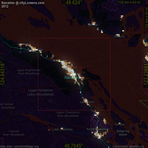
» Earth at Night: Flat Maps 2012, 2016