Timmins night lights from space
Night Light of Timmins (Ontario) from space (Canada) Src. Average luminocity for 10x10km area is 23.0852% and for 50x50km: 1.5041%.
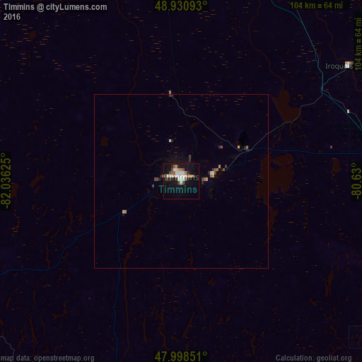
Analysis of Timmins night lights 2016
Square area 10x10 km:
 4.12%
4.12%90-99
5.54%80-89
1.28%70-79
1.56%60-69
3.13%50-59
2.27%40-49
2.56%30-39
2.13%20-29
2.98%10-19
24.01%0-9
50.43%Square area 50x50 km:
0.18%90-99
0.25%80-89
0.11%70-79
0.16%60-69
0.19%50-59
0.17%40-49
0.22%30-39
0.22%20-29
0.28%10-19
1.21%0-9
97.02%Clear (daylight) street map image can be seen on geolist.org.
Map coordinates:
48° 55' 51.3" North, 82° 2' 10.5" West
48° 28' 0.7" North, 81° 19' 59.2" West
47° 59' 54.6" North, 80° 37' 48" West
Some cities around Timmins sort by population:
• Greater Sudbury
221.3 km =137.5 mi,  173°
173°
• Rouyn-Noranda
172.6 km =107.2 mi,  98°
98°
• Valley East
201.6 km =125.3 mi, 172°
• Rayside-Balfour
206.8 km =128.5 mi,  177°
177°
• Temiskaming Shores
161.9 km =100.6 mi,  131°
131°
• Kapuskasing
132.7 km =82.5 mi,  322°
322°
• Kirkland Lake
102.3 km =63.6 mi,  110°
110°
• La Sarre
161.1 km =100.1 mi,  76°
76°
6166739 (p: 42,997)
Sources (retrieved 2019-11-25):
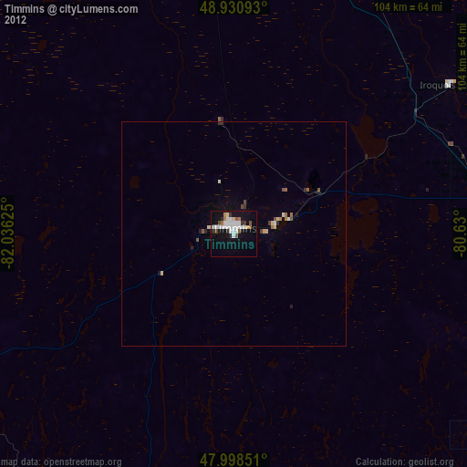
» Earth at Night: Flat Maps 2012, 2016