Kirkland Lake night lights from space
Night Light of Kirkland Lake (Ontario) from space (Canada) Src. Average luminocity for 10x10km area is 7.8467% and for 50x50km: 0.3322%.
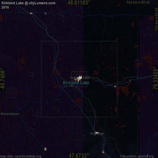
Analysis of Kirkland Lake night lights 2016
Square area 10x10 km:
 0.6%
0.6%90-99
0.6%80-89
1.19%70-79
1.04%60-69
0.89%50-59
2.68%40-49
1.79%30-39
0.15%20-29
1.79%10-19
0.6%0-9
88.69%Square area 50x50 km:
0.02%90-99
0.02%80-89
0.05%70-79
0.04%60-69
0.06%50-59
0.1%40-49
0.07%30-39
0.01%20-29
0.09%10-19
0.02%0-9
99.52%Clear (daylight) street map image can be seen on geolist.org.
Map coordinates:
48° 36' 41.9" North, 80° 44' 26.9" West
48° 8' 40.6" North, 80° 2' 15.6" West
47° 40' 23.9" North, 79° 20' 4.4" West
Some cities around Kirkland Lake sort by population:
• Timmins
102.3 km =63.6 mi,  290°
290°
• Val-d'Or
166.4 km =103.4 mi,  91°
91°
• Rouyn-Noranda
75.9 km =47.2 mi,  82°
82°
• Amos
149.5 km =92.9 mi,  71°
71°
• Valley East
179.5 km =111.5 mi,  203°
203°
• Rayside-Balfour
192.2 km =119.4 mi,  207°
207°
• Temiskaming Shores
76.3 km =47.4 mi,  161°
161°
• La Sarre
95.5 km =59.3 mi,  40°
40°
5992836 (p: 7,775)
Sources (retrieved 2019-11-25):
» Earth at Night: Flat Maps 2012, 2016