Kapuskasing night lights from space
Night Light of Kapuskasing (Ontario) from space (Canada) Src. Average luminocity for 10x10km area is 9.8917% and for 50x50km: 0.4532%.
Analysis of Kapuskasing night lights 2016
Square area 10x10 km:
 0.4%
0.4%90-99
2.27%80-89
0.53%70-79
1.07%60-69
1.74%50-59
2.54%40-49
1.74%30-39
0.4%20-29
1.07%10-19
1.6%0-9
86.63%Square area 50x50 km:
0.02%90-99
0.09%80-89
0.02%70-79
0.04%60-69
0.07%50-59
0.13%40-49
0.07%30-39
0.06%20-29
0.05%10-19
0.07%0-9
99.38%Clear (daylight) street map image can be seen on geolist.org.
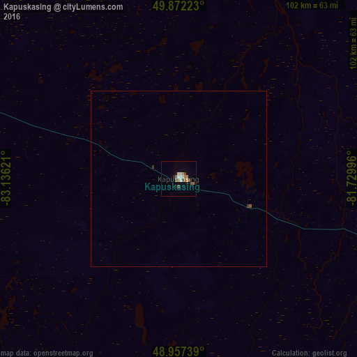
Map coordinates:
49° 52' 20" North, 83° 8' 10.4" West
49° 25' 1" North, 82° 25' 59.1" West
48° 57' 26.6" North, 81° 43' 47.9" West
Some cities around Kapuskasing sort by population:
• Timmins
132.7 km =82.5 mi,  142°
142°
• Rouyn-Noranda
282 km =175.2 mi,  117°
117°
• Amos
328.8 km =204.3 mi,  106°
106°
• Valley East
323.7 km =201.1 mi,  160°
160°
• Rayside-Balfour
325.3 km =202.1 mi, 163°
• Temiskaming Shores
293 km =182.1 mi, 136°
• Kirkland Lake
225.4 km =140.1 mi,  128°
128°
• La Sarre
245.1 km =152.3 mi, 106°
5989403 (p: 9,240)
Sources (retrieved 2019-11-25):
» Earth at Night: Flat Maps 2012, 2016