Thetford-Mines night lights from space
Night Light of Thetford-Mines (Quebec) from space (Canada) Src. Average luminocity for 10x10km area is 24.4219% and for 50x50km: 1.7363%.
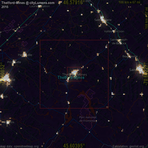
Analysis of Thetford-Mines night lights 2016
Square area 10x10 km:
 3.55%
3.55%90-99
4.12%80-89
3.27%70-79
2.41%60-69
2.56%50-59
2.7%40-49
2.84%30-39
3.13%20-29
3.98%10-19
26.7%0-9
44.74%Square area 50x50 km:
0.16%90-99
0.23%80-89
0.19%70-79
0.17%60-69
0.26%50-59
0.32%40-49
0.2%30-39
0.31%20-29
0.38%10-19
1.2%0-9
96.57%Clear (daylight) street map image can be seen on geolist.org.
Map coordinates:
46° 34' 45" North, 72° 0' 30.7" West
46° 5' 37.4" North, 71° 18' 19.4" West
45° 36' 14.2" North, 70° 36' 8.2" West
Some cities around Thetford-Mines sort by population:
• Victoriaville
51.2 km =31.8 mi,  264°
264°
• Saint-Georges
49.4 km =30.7 mi,  87°
87°
• Sainte-Marie
44.1 km =27.4 mi,  30°
30°
• Asbestos
60.6 km =37.7 mi,  233°
233°
• Plessisville
37.8 km =23.5 mi,  291°
291°
• Beauceville
42.8 km =26.6 mi,  71°
71°
• Princeville
44.7 km =27.8 mi,  281°
281°
• Saint-Henri
69.1 km =42.9 mi,  15°
15°
6943827 (p: 25,704)
Sources (retrieved 2019-11-25):
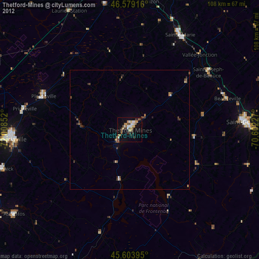
» Earth at Night: Flat Maps 2012, 2016