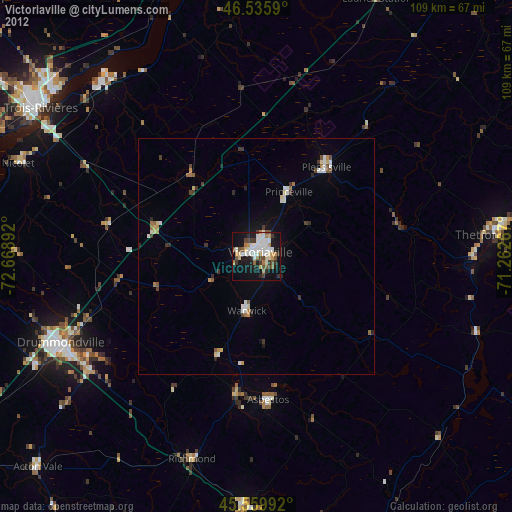
Victoriaville night lights from space
Night Light of Victoriaville (Quebec) from space (Canada) Src. Average luminocity for 10x10km area is 42.8878% and for 50x50km: 3.8481%.
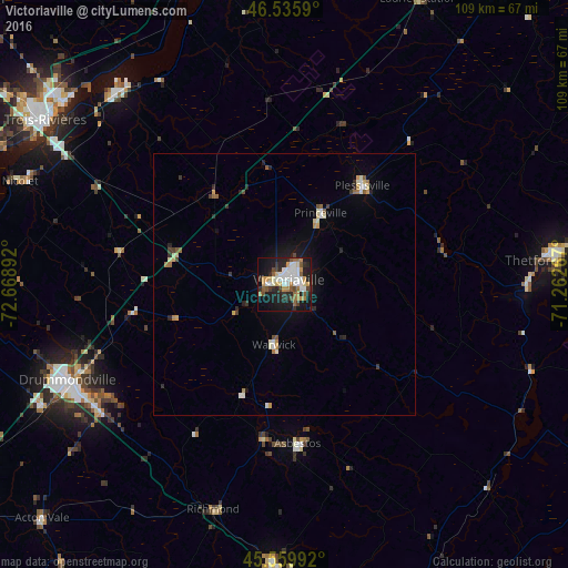
Analysis of Victoriaville night lights 2016
Square area 10x10 km:
 8.38%
8.38%90-99
9.8%80-89
3.13%70-79
6.96%60-69
4.97%50-59
4.4%40-49
4.69%30-39
4.55%20-29
14.35%10-19
28.27%0-9
10.51%Square area 50x50 km:
0.47%90-99
0.75%80-89
0.32%70-79
0.53%60-69
0.41%50-59
0.44%40-49
0.36%30-39
0.45%20-29
1.07%10-19
2.2%0-9
93%Clear (daylight) street map image can be seen on geolist.org.
Map coordinates:
46° 32' 9.2" North, 72° 40' 8.1" West
46° 3' 0.3" North, 71° 57' 56.8" West
45° 33' 35.7" North, 71° 15' 45.6" West
Some cities around Victoriaville sort by population:
• Drummondville
44 km =27.3 mi,  245°
245°
• Thetford-Mines
51.2 km =31.8 mi,  84°
84°
• Bécancour
48.3 km =30 mi,  312°
312°
• Asbestos
31.6 km =19.6 mi,  175°
175°
• Plessisville
24.4 km =15.2 mi,  39°
39°
• Princeville
15.2 km =9.4 mi,  27°
27°
• Nicolet
53.4 km =33.2 mi,  290°
290°
• Windsor
53.8 km =33.4 mi, 182°
6174151 (p: 34,426)
Sources (retrieved 2019-11-25):
» Earth at Night: Flat Maps 2012, 2016