Saint-Georges night lights from space
Night Light of Saint-Georges (Quebec) from space (Canada) Src. Average luminocity for 10x10km area is 33.5071% and for 50x50km: 3.0975%.
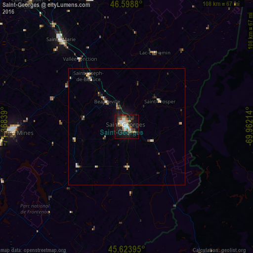
Analysis of Saint-Georges night lights 2016
Square area 10x10 km:
 4.69%
4.69%90-99
8.95%80-89
3.27%70-79
1.14%60-69
4.12%50-59
5.97%40-49
4.55%30-39
2.98%20-29
8.1%10-19
31.82%0-9
24.43%Square area 50x50 km:
0.24%90-99
0.71%80-89
0.39%70-79
0.21%60-69
0.33%50-59
0.45%40-49
0.48%30-39
0.47%20-29
0.69%10-19
2.01%0-9
94.03%Clear (daylight) street map image can be seen on geolist.org.
Map coordinates:
46° 35' 55.7" North, 71° 22' 6.2" West
46° 6' 48.7" North, 70° 39' 54.9" West
45° 37' 26.2" North, 69° 57' 43.7" West
Some cities around Saint-Georges sort by population:
• Québec
88.4 km =54.9 mi,  331°
331°
• Lévis
86.2 km =53.6 mi, 332°
• Thetford-Mines
49.4 km =30.7 mi,  267°
267°
• L'Ancienne-Lorette
92.1 km =57.2 mi, 325°
• Montmagny
96.8 km =60.1 mi,  5°
5°
• Plessisville
85.3 km =53 mi,  277°
277°
• Beauceville
14.5 km =9 mi,  323°
323°
• Princeville
93.4 km =58 mi, 273°
6620953 (p: 31,173)
Sources (retrieved 2019-11-25):
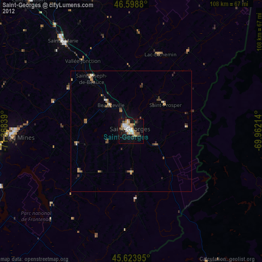
» Earth at Night: Flat Maps 2012, 2016