Beauceville night lights from space
Night Light of Beauceville (Quebec) from space (Canada) Src. Average luminocity for 10x10km area is 8.2969% and for 50x50km: 3.6699%.
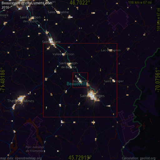
Analysis of Beauceville night lights 2016
Square area 10x10 km:
 0.43%
0.43%90-99
0.71%80-89
0.57%70-79
1.14%60-69
2.27%50-59
1.56%40-49
1.85%30-39
1.14%20-29
1.14%10-19
1.42%0-9
87.78%Square area 50x50 km:
0.27%90-99
0.77%80-89
0.38%70-79
0.23%60-69
0.55%50-59
0.64%40-49
0.49%30-39
0.57%20-29
0.77%10-19
2.48%0-9
92.87%Clear (daylight) street map image can be seen on geolist.org.
Map coordinates:
46° 42' 7.9" North, 71° 28' 54.7" West
46° 13' 4.3" North, 70° 46' 43.4" West
45° 43' 45.1" North, 70° 4' 32.2" West
Some cities around Beauceville sort by population:
• Québec
74 km =46 mi,  333°
333°
• Lévis
71.9 km =44.7 mi, 334°
• Saint-Georges
14.5 km =9 mi,  143°
143°
• Thetford-Mines
42.8 km =26.6 mi,  251°
251°
• L'Ancienne-Lorette
77.6 km =48.2 mi, 325°
• Sainte-Marie
30 km =18.6 mi,  323°
323°
• Plessisville
75.6 km =47 mi,  270°
270°
• Saint-Henri
57.3 km =35.6 mi,  337°
337°
6295855 (p: 6,226)
Sources (retrieved 2019-11-25):
» Earth at Night: Flat Maps 2012, 2016