Val-d'Or night lights from space
Night Light of Val-d'Or (Quebec) from space (Canada) Src. Average luminocity for 10x10km area is 33.003% and for 50x50km: 1.7343%.

Analysis of Val-d'Or night lights 2016
Square area 10x10 km:
 6.99%
6.99%90-99
8.93%80-89
2.53%70-79
2.53%60-69
2.83%50-59
1.49%40-49
2.98%30-39
3.42%20-29
4.46%10-19
41.96%0-9
21.88%Square area 50x50 km:
0.29%90-99
0.38%80-89
0.12%70-79
0.16%60-69
0.19%50-59
0.09%40-49
0.19%30-39
0.22%20-29
0.21%10-19
1.84%0-9
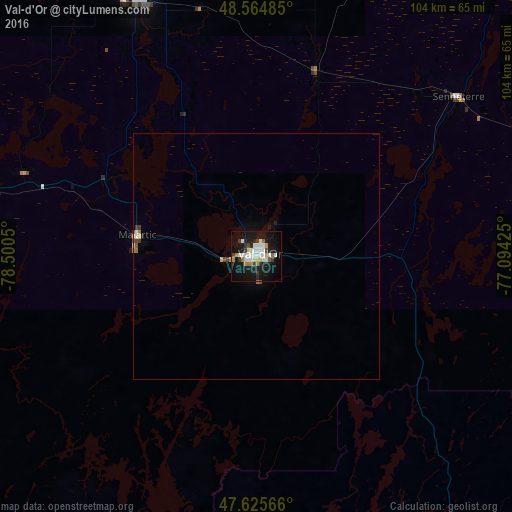
96.31%Clear (daylight) street map image can be seen on geolist.org.
Map coordinates:
48° 33' 53.5" North, 78° 30' 1.8" West
48° 5' 50.6" North, 77° 47' 50.5" West
47° 37' 32.4" North, 77° 5' 39.3" West
Some cities around Val-d'Or sort by population:
• North Bay
234.7 km =145.8 mi,  212°
212°
• Rouyn-Noranda
92.2 km =57.3 mi,  279°
279°
• Amos
57.3 km =35.6 mi,  335°
335°
• Petawawa
248.1 km =154.2 mi,  170°
170°
• Mont-Laurier
244.1 km =151.7 mi,  134°
134°
• Temiskaming Shores
158.2 km =98.3 mi,  244°
244°
• Kirkland Lake
166.4 km =103.4 mi,  271°
271°
• La Sarre
129.6 km =80.5 mi,  307°
307°
6173017 (p: 25,541)
Sources (retrieved 2019-11-25):
» Earth at Night: Flat Maps 2012, 2016