Summerside night lights from space
Night Light of Summerside (Prince Edward Island) from space (Canada) Src. Average luminocity for 10x10km area is 14.503% and for 50x50km: 0.8387%.
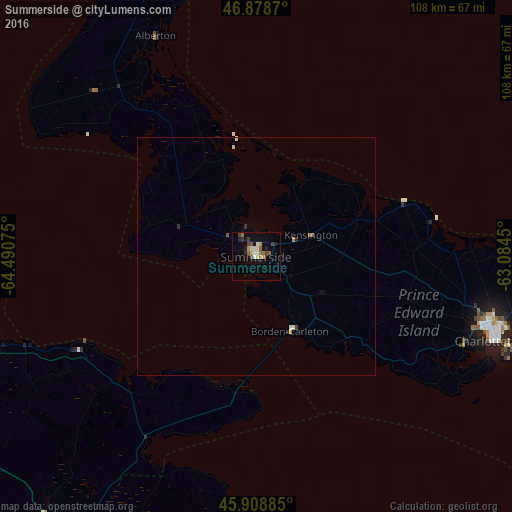
Analysis of Summerside night lights 2016
Square area 10x10 km:
 1.19%
1.19%90-99
2.38%80-89
1.64%70-79
1.49%60-69
2.23%50-59
2.68%40-49
2.38%30-39
1.93%20-29
2.38%10-19
4.46%0-9
77.23%Square area 50x50 km:
0.05%90-99
0.16%80-89
0.09%70-79
0.08%60-69
0.11%50-59
0.15%40-49
0.14%30-39
0.11%20-29
0.16%10-19
0.19%0-9
98.75%Clear (daylight) street map image can be seen on geolist.org.
Map coordinates:
46° 52' 43.3" North, 64° 29' 26.7" West
46° 23' 45.3" North, 63° 47' 15.4" West
45° 54' 31.9" North, 63° 5' 4.2" West
Some cities around Summerside sort by population:
• Moncton
84.5 km =52.5 mi,  246°
246°
• Charlottetown
53.1 km =33 mi,  109°
109°
• Truro
121.4 km =75.4 mi,  160°
160°
• New Glasgow
126.1 km =78.4 mi,  135°
135°
• Dieppe
77.7 km =48.3 mi,  242°
242°
• Miramichi
148.4 km =92.2 mi,  298°
298°
• Lutes Mountain
90.6 km =56.3 mi, 251°
• Amherst
70.1 km =43.6 mi,  206°
206°
6159244 (p: 14,808)
Sources (retrieved 2019-11-25):
» Earth at Night: Flat Maps 2012, 2016