Charlottetown night lights from space
Night Light of Charlottetown (Prince Edward Island) from space (Canada) Src. Average luminocity for 10x10km area is 36.6905% and for 50x50km: 1.8405%.
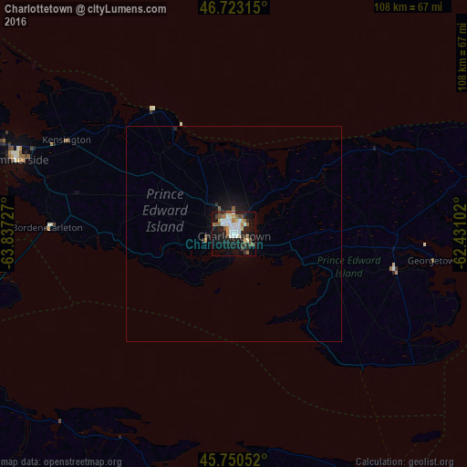
Analysis of Charlottetown night lights 2016
Square area 10x10 km:
 8.33%
8.33%90-99
8.18%80-89
2.53%70-79
2.98%60-69
4.46%50-59
5.36%40-49
3.87%30-39
2.53%20-29
9.08%10-19
31.25%0-9
21.43%Square area 50x50 km:
0.34%90-99
0.34%80-89
0.11%70-79
0.14%60-69
0.2%50-59
0.26%40-49
0.2%30-39
0.12%20-29
0.51%10-19
1.91%0-9
95.88%Clear (daylight) street map image can be seen on geolist.org.
Map coordinates:
46° 43' 23.3" North, 63° 50' 14.2" West
46° 14' 20.4" North, 63° 8' 2.9" West
45° 45' 1.9" North, 62° 25' 51.7" West
Some cities around Charlottetown sort by population:
• Moncton
129 km =80.2 mi,  262°
262°
• Truro
97.5 km =60.6 mi,  185°
185°
• New Glasgow
82 km =51 mi,  152°
152°
• Dieppe
120.9 km =75.1 mi, 261°
• Lutes Mountain
136.8 km =85 mi,  265°
265°
• Summerside
53.1 km =33 mi,  289°
289°
• Amherst
93.7 km =58.2 mi,  241°
241°
• Antigonish
111.8 km =69.5 mi,  128°
128°
5920288 (p: 42,402)
Sources (retrieved 2019-11-25):
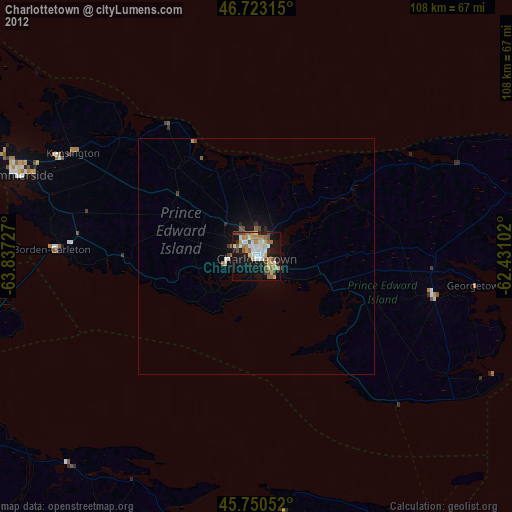
» Earth at Night: Flat Maps 2012, 2016