Truro night lights from space
Night Light of Truro (Nova Scotia) from space (Canada) Src. Average luminocity for 10x10km area is 28.6698% and for 50x50km: 1.3709%.
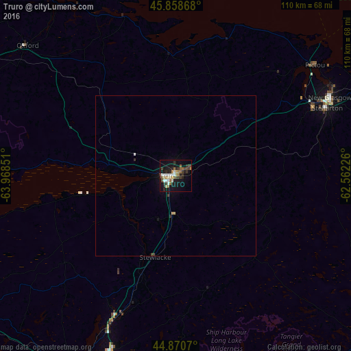
Analysis of Truro night lights 2016
Square area 10x10 km:
 4.13%
4.13%90-99
4.6%80-89
2.86%70-79
1.11%60-69
5.71%50-59
3.97%40-49
3.49%30-39
6.83%20-29
6.35%10-19
29.84%0-9
31.11%Square area 50x50 km:
0.17%90-99
0.19%80-89
0.14%70-79
0.07%60-69
0.22%50-59
0.15%40-49
0.18%30-39
0.32%20-29
0.27%10-19
1.26%0-9
97.04%Clear (daylight) street map image can be seen on geolist.org.
Map coordinates:
45° 51' 31.2" North, 63° 58' 6.6" West
45° 22' 0.7" North, 63° 15' 55.4" West
44° 52' 14.5" North, 62° 33' 44.1" West
Some cities around Truro sort by population:
• Halifax
83.7 km =52 mi,  196°
196°
• Dartmouth
81.1 km =50.4 mi, 197°
• Charlottetown
97.5 km =60.6 mi,  5°
5°
• Lower Sackville
73.3 km =45.5 mi,  206°
206°
• Cole Harbour
79 km =49.1 mi,  192°
192°
• New Glasgow
53.8 km =33.4 mi,  63°
63°
• Fall River
67 km =41.6 mi, 204°
• Amherst
89.2 km =55.4 mi,  305°
305°
6169587 (p: 20,650)
Sources (retrieved 2019-11-25):
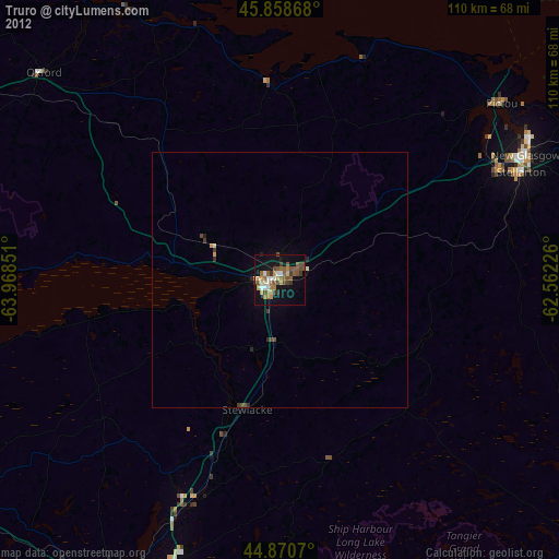
» Earth at Night: Flat Maps 2012, 2016