Miramichi night lights from space
Night Light of Miramichi (New Brunswick) from space (Canada) Src. Average luminocity for 10x10km area is 18.196% and for 50x50km: 1.1951%.
Analysis of Miramichi night lights 2016
Square area 10x10 km:
 1.28%
1.28%90-99
2.84%80-89
2.7%70-79
1.42%60-69
1.14%50-59
3.27%40-49
2.98%30-39
3.27%20-29
4.26%10-19
8.95%0-9
67.9%Square area 50x50 km:
0.09%90-99
0.19%80-89
0.15%70-79
0.08%60-69
0.16%50-59
0.16%40-49
0.15%30-39
0.17%20-29
0.23%10-19
0.5%0-9
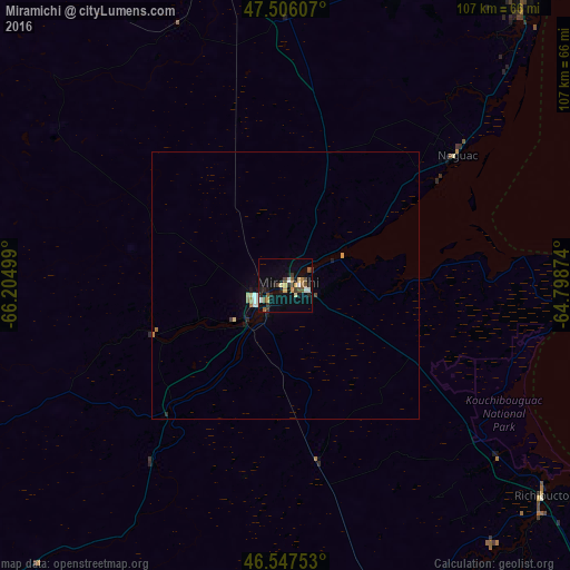
98.11%Clear (daylight) street map image can be seen on geolist.org.
Map coordinates:
47° 30' 21.9" North, 66° 12' 18" West
47° 1' 44.2" North, 65° 30' 6.7" West
46° 32' 51.1" North, 64° 47' 55.5" West
Some cities around Miramichi sort by population:
• Moncton
117.1 km =72.8 mi,  152°
152°
• Fredericton
149.8 km =93.1 mi,  216°
216°
• Dieppe
122.7 km =76.2 mi, 149°
• Lutes Mountain
109.3 km =67.9 mi,  155°
155°
• Summerside
148.4 km =92.2 mi,  118°
118°
• Bathurst
66.5 km =41.3 mi,  350°
350°
• Campbellton
139.9 km =86.9 mi,  321°
321°
• Sussex
145.2 km =90.2 mi,  180°
180°
6075081 (p: 18,129)
Sources (retrieved 2019-11-25):
» Earth at Night: Flat Maps 2012, 2016