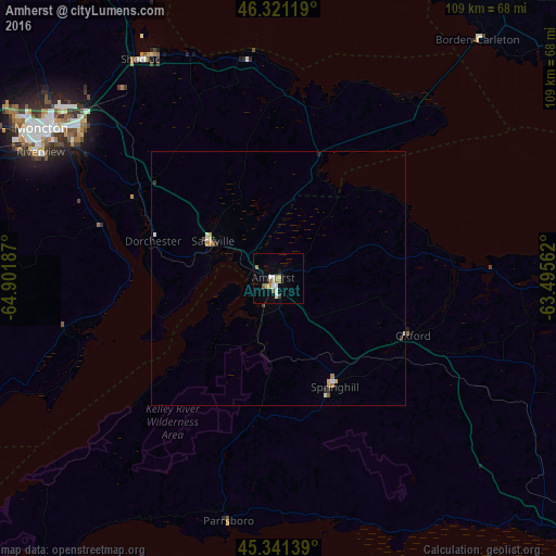
Amherst night lights from space
Night Light of Amherst (Nova Scotia) from space (Canada) Src. Average luminocity for 10x10km area is 10.7277% and for 50x50km: 0.9098%.
Analysis of Amherst night lights 2016
Square area 10x10 km:
 1.93%
1.93%90-99
1.64%80-89
0.6%70-79
2.08%60-69
2.08%50-59
1.19%40-49
0.6%30-39
0.6%20-29
0%10-19
2.53%0-9
86.76%Square area 50x50 km:
0.11%90-99
0.15%80-89
0.1%70-79
0.17%60-69
0.16%50-59
0.1%40-49
0.06%30-39
0.11%20-29
0.1%10-19
0.15%0-9
98.8%Clear (daylight) street map image can be seen on geolist.org.
Map coordinates:
46° 19' 16.3" North, 64° 54' 6.7" West
45° 50' 0.4" North, 64° 11' 55.5" West
45° 20' 29" North, 63° 29' 44.2" West
Some cities around Amherst sort by population:
• Moncton
54.6 km =33.9 mi,  302°
302°
• Charlottetown
93.7 km =58.2 mi,  61°
61°
• Truro
89.2 km =55.4 mi,  125°
125°
• Dieppe
46.6 km =29 mi,  305°
305°
• Lutes Mountain
64.1 km =39.8 mi, 301°
• Summerside
70.1 km =43.6 mi,  26°
26°
• Kentville
87.2 km =54.2 mi,  195°
195°
• Sussex
102.2 km =63.5 mi,  263°
263°
5884467 (p: 9,336)
Sources (retrieved 2019-11-25):
» Earth at Night: Flat Maps 2012, 2016