Dieppe night lights from space
Night Light of Dieppe (New Brunswick) from space (Canada) Src. Average luminocity for 10x10km area is 26.2003% and for 50x50km: 5.6464%.
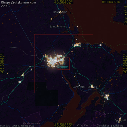
Analysis of Dieppe night lights 2016
Square area 10x10 km:
 3.98%
3.98%90-99
3.41%80-89
3.13%70-79
3.13%60-69
4.55%50-59
3.55%40-49
4.97%30-39
5.26%20-29
4.97%10-19
19.18%0-9
43.89%Square area 50x50 km:
1.05%90-99
1.19%80-89
0.4%70-79
0.52%60-69
0.69%50-59
0.77%40-49
0.62%30-39
0.97%20-29
1.44%10-19
3.55%0-9
88.79%Clear (daylight) street map image can be seen on geolist.org.
Map coordinates:
46° 33' 50.5" North, 65° 23' 25.7" West
46° 4' 42.4" North, 64° 41' 14.5" West
45° 35' 18.8" North, 63° 59' 3.2" West
Some cities around Dieppe sort by population:
• Moncton
8.6 km =5.3 mi,  282°
282°
• Charlottetown
120.9 km =75.1 mi,  81°
81°
• Miramichi
122.7 km =76.2 mi,  329°
329°
• Lutes Mountain
17.9 km =11.1 mi,  290°
290°
• Summerside
77.7 km =48.3 mi,  62°
62°
• Kentville
112.3 km =69.8 mi,  172°
172°
• Amherst
46.6 km =29 mi,  125°
125°
• Sussex
74.7 km =46.4 mi,  238°
238°
5939219 (p: 18,565)
Sources (retrieved 2019-11-25):
» Earth at Night: Flat Maps 2012, 2016