Prince Albert night lights from space
Night Light of Prince Albert (Saskatchewan) from space (Canada) Src. Average luminocity for 10x10km area is 30.0556% and for 50x50km: 1.4162%.
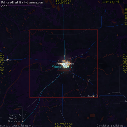
Analysis of Prince Albert night lights 2016
Square area 10x10 km:
 5.18%
5.18%90-99
7.7%80-89
3.41%70-79
3.91%60-69
2.65%50-59
2.9%40-49
1.39%30-39
2.4%20-29
3.54%10-19
34.09%0-9
32.83%Square area 50x50 km:
0.21%90-99
0.31%80-89
0.14%70-79
0.16%60-69
0.12%50-59
0.14%40-49
0.06%30-39
0.15%20-29
0.17%10-19
1.68%0-9
96.86%Clear (daylight) street map image can be seen on geolist.org.
Map coordinates:
53° 37' 9.1" North, 106° 28' 15.1" West
53° 12' 0.3" North, 105° 46' 3.8" West
52° 46' 36.6" North, 105° 3' 52.6" West
Some cities around Prince Albert sort by population:
• Saskatoon
133.4 km =82.9 mi,  207°
207°
• Lloydminster
283.2 km =176 mi,  271°
271°
• North Battleford
175.6 km =109.1 mi,  254°
254°
• Warman
112 km =69.6 mi, 208°
• The Pas
306.4 km =190.4 mi,  76°
76°
• Melfort
85.4 km =53.1 mi,  115°
115°
• La Ronge
213.6 km =132.7 mi,  8°
8°
• Meadow Lake
204 km =126.8 mi,  300°
300°
6113335 (p: 35,102)
Sources (retrieved 2019-11-25):
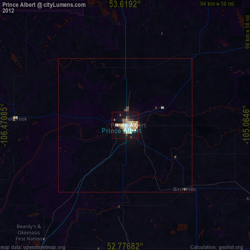
» Earth at Night: Flat Maps 2012, 2016