Melfort night lights from space
Night Light of Melfort (Saskatchewan) from space (Canada) Src. Average luminocity for 10x10km area is 5.447% and for 50x50km: 0.2263%.
Analysis of Melfort night lights 2016
Square area 10x10 km:
 0.38%
0.38%90-99
0.63%80-89
1.26%70-79
0.76%60-69
1.01%50-59
0.51%40-49
1.39%30-39
0.13%20-29
1.01%10-19
0%0-9
92.93%Square area 50x50 km:
0.02%90-99
0.03%80-89
0.05%70-79
0.03%60-69
0.04%50-59
0.02%40-49
0.06%30-39
0.01%20-29
0.04%10-19
0%0-9
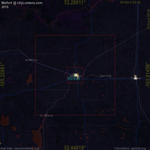
99.71%Clear (daylight) street map image can be seen on geolist.org.
Map coordinates:
53° 17' 20.8" North, 105° 19' 14.9" West
52° 52' 0.2" North, 104° 37' 3.6" West
52° 26' 24.7" North, 103° 54' 52.4" West
Some cities around Melfort sort by population:
• Saskatoon
161.1 km =100.1 mi,  239°
239°
• Regina
268.7 km =167 mi,  180°
180°
• Prince Albert
85.4 km =53.1 mi,  295°
295°
• North Battleford
247.4 km =153.7 mi,  267°
267°
• Yorkton
235.1 km =146.1 mi,  141°
141°
• Warman
145.2 km =90.2 mi,  245°
245°
• The Pas
247.4 km =153.7 mi,  64°
64°
• La Ronge
252.1 km =156.6 mi,  350°
350°
6071876 (p: 5,778)
Sources (retrieved 2019-11-25):
» Earth at Night: Flat Maps 2012, 2016