La Ronge night lights from space
Night Light of La Ronge (Saskatchewan) from space (Canada) Src. Average luminocity for 10x10km area is 3.6667% and for 50x50km: 0.1478%.
Analysis of La Ronge night lights 2016
Square area 10x10 km:
 0%
0%90-99
0%80-89
0.5%70-79
0%60-69
1.5%50-59
0%40-49
1%30-39
2.26%20-29
1.75%10-19
1.5%0-9
91.48%Square area 50x50 km:
0%90-99
0%80-89
0.02%70-79
0%60-69
0.06%50-59
0%40-49
0.04%30-39
0.09%20-29
0.07%10-19
0.06%0-9
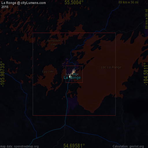
99.66%Clear (daylight) street map image can be seen on geolist.org.
Map coordinates:
55° 30' 1.4" North, 105° 59' 14.5" West
55° 6' 0.5" North, 105° 17' 3.2" West
54° 41' 44.9" North, 104° 34' 52" West
Some cities around La Ronge sort by population:
• Prince Albert
213.6 km =132.7 mi,  188°
188°
• North Battleford
324.7 km =201.8 mi,  217°
217°
• Cold Lake
321.8 km =200 mi,  257°
257°
• Warman
320.8 km =199.3 mi,  195°
195°
• The Pas
296.5 km =184.2 mi,  118°
118°
• Flin Flon
220.9 km =137.3 mi,  99°
99°
• Melfort
252.1 km =156.6 mi,  170°
170°
• Meadow Lake
229.5 km =142.6 mi,  242°
242°
6050066 (p: 5,671)
Sources (retrieved 2019-11-25):
» Earth at Night: Flat Maps 2012, 2016