Warman night lights from space
Night Light of Warman (Saskatchewan) from space (Canada) Src. Average luminocity for 10x10km area is 7.2399% and for 50x50km: 6.5321%.
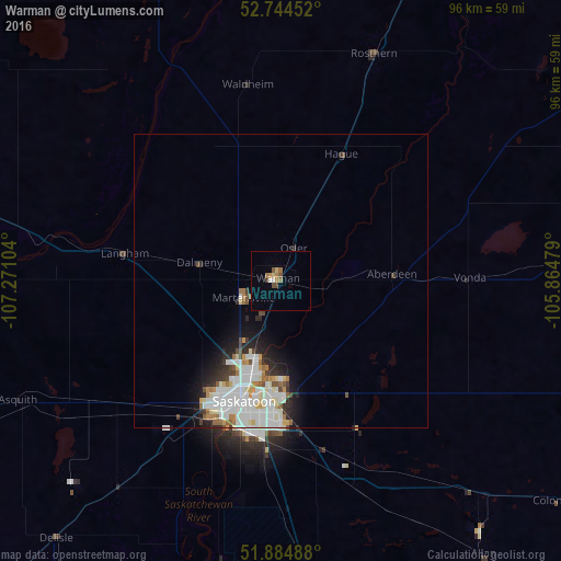
Analysis of Warman night lights 2016
Square area 10x10 km:
 0.25%
0.25%90-99
0.76%80-89
1.01%70-79
1.01%60-69
2.02%50-59
1.39%40-49
0.88%30-39
0.51%20-29
0%10-19
0%0-9
92.17%Square area 50x50 km:
1.82%90-99
1.9%80-89
0.57%70-79
0.46%60-69
0.68%50-59
0.47%40-49
0.53%30-39
0.53%20-29
1.24%10-19
2.29%0-9
89.51%Clear (daylight) street map image can be seen on geolist.org.
Map coordinates:
52° 44' 40.3" North, 107° 16' 15.7" West
52° 19' 0.4" North, 106° 34' 4.5" West
51° 53' 5.6" North, 105° 51' 53.2" West
Some cities around Warman sort by population:
• Saskatoon
21.6 km =13.4 mi,  198°
198°
• Regina
247.8 km =154 mi,  146°
146°
• Prince Albert
112 km =69.6 mi,  28°
28°
• Moose Jaw
224.9 km =139.7 mi,  161°
161°
• North Battleford
127.7 km =79.3 mi,  293°
293°
• Swift Current
241.8 km =150.2 mi, 200°
• Melfort
145.2 km =90.2 mi,  65°
65°
• Meadow Lake
237.1 km =147.3 mi,  328°
328°
6176226 (p: 10,961)
Sources (retrieved 2019-11-25):
» Earth at Night: Flat Maps 2012, 2016