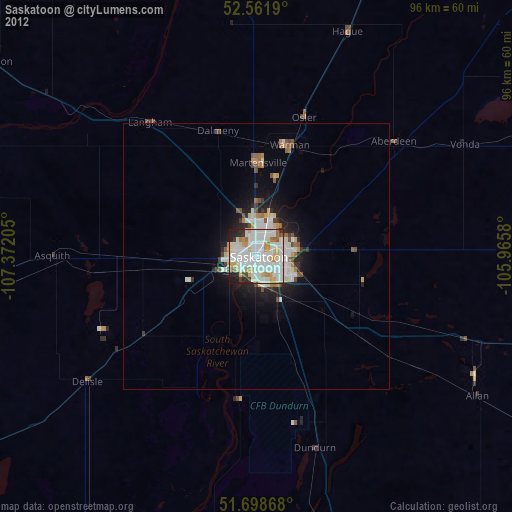
Saskatoon night lights from space
Night Light of Saskatoon (Saskatchewan) from space (Canada) Src. Average luminocity for 10x10km area is 86.5437% and for 50x50km: 7.691%.

Analysis of Saskatoon night lights 2016
Square area 10x10 km:
 36.38%
90-99
32.67%80-89
6.88%70-79
4.63%60-69
5.42%50-59
4.23%40-49
1.98%30-39
3.31%20-29
4.5%10-19
0%0-9
0%Square area 50x50 km:
1.97%90-99
2.17%80-89
0.64%70-79
0.5%60-69
0.69%50-59
0.54%40-49
0.69%30-39
0.64%20-29
2.11%10-19
3.59%0-9
86.47%Clear (daylight) street map image can be seen on geolist.org.
Map coordinates:
52° 33' 42.8" North, 107° 22' 19.4" West
52° 7' 56.6" North, 106° 40' 8.1" West
51° 41' 55.2" North, 105° 57' 56.9" West
Some cities around Saskatoon sort by population:
• Regina
235.2 km =146.1 mi,  142°
142°
• Prince Albert
133.4 km =82.9 mi,  27°
27°
• Moose Jaw
208.2 km =129.4 mi,  157°
157°
• North Battleford
131.7 km =81.8 mi,  303°
303°
• Swift Current
220.2 km =136.8 mi,  200°
200°
• Warman
21.6 km =13.4 mi,  18°
18°
• Melfort
161.1 km =100.1 mi,  59°
59°
• Meadow Lake
251.7 km =156.4 mi,  332°
332°
6141256 (p: 198,958)
Sources (retrieved 2019-11-25):
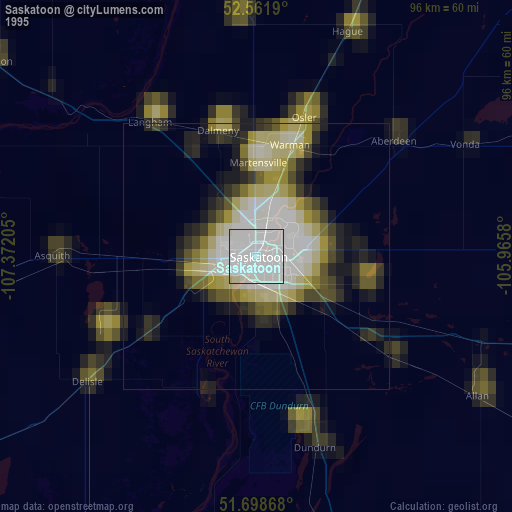
» NASA, Earths city lights 1995
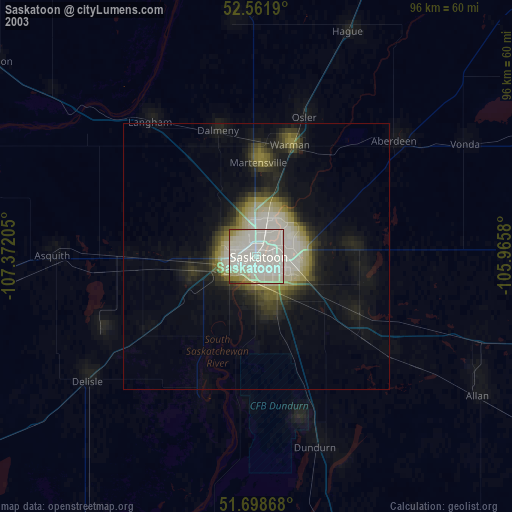
» NASA city lights 2003
» Earth at Night: Flat Maps 2012, 2016