Meadow Lake night lights from space
Night Light of Meadow Lake (Saskatchewan) from space (Canada) Src. Average luminocity for 10x10km area is 4.6452% and for 50x50km: 0.2466%.
Analysis of Meadow Lake night lights 2016
Square area 10x10 km:
 0.76%
0.76%90-99
0.76%80-89
1.39%70-79
0.13%60-69
0%50-59
0%40-49
2.02%30-39
0.13%20-29
0.38%10-19
0%0-9
94.44%Square area 50x50 km:
0.04%90-99
0.04%80-89
0.08%70-79
0.01%60-69
0.02%50-59
0%40-49
0.08%30-39
0.02%20-29
0.03%10-19
0%0-9
99.7%Clear (daylight) street map image can be seen on geolist.org.
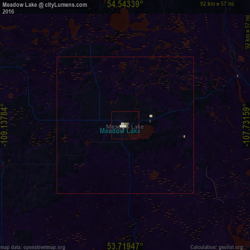
Map coordinates:
54° 32' 36.2" North, 109° 8' 16.2" West
54° 8' 0.5" North, 108° 26' 5" West
53° 43' 10.1" North, 107° 43' 53.7" West
Some cities around Meadow Lake sort by population:
• Prince Albert
204 km =126.8 mi,  120°
120°
• Lloydminster
141.7 km =88 mi,  227°
227°
• North Battleford
150.8 km =93.7 mi,  176°
176°
• Cold Lake
119.2 km =74.1 mi,  288°
288°
• Grand Centre
119.7 km =74.4 mi, 285°
• Bonnyville
150.3 km =93.4 mi,  275°
275°
• St. Paul
186.8 km =116.1 mi,  264°
264°
• Wainwright
215.5 km =133.9 mi, 227°
6071421 (p: 5,266)
Sources (retrieved 2019-11-25):
» Earth at Night: Flat Maps 2012, 2016