North Battleford night lights from space
Night Light of North Battleford (Saskatchewan) from space (Canada) Src. Average luminocity for 10x10km area is 21.3561% and for 50x50km: 1.0906%.
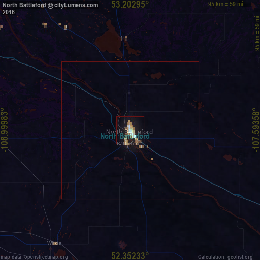
Analysis of North Battleford night lights 2016
Square area 10x10 km:
 1.77%
1.77%90-99
3.28%80-89
3.79%70-79
3.03%60-69
2.65%50-59
4.42%40-49
1.77%30-39
1.26%20-29
1.52%10-19
22.6%0-9
53.91%Square area 50x50 km:
0.07%90-99
0.16%80-89
0.17%70-79
0.13%60-69
0.14%50-59
0.2%40-49
0.16%30-39
0.05%20-29
0.06%10-19
1.11%0-9
97.75%Clear (daylight) street map image can be seen on geolist.org.
Map coordinates:
53° 12' 10.6" North, 108° 59' 59.4" West
52° 46' 47" North, 108° 17' 48.1" West
52° 21' 8.4" North, 107° 35' 36.9" West
Some cities around North Battleford sort by population:
• Saskatoon
131.7 km =81.8 mi,  123°
123°
• Prince Albert
175.6 km =109.1 mi,  74°
74°
• Lloydminster
127.8 km =79.4 mi,  295°
295°
• Cold Lake
224.9 km =139.7 mi,  326°
326°
• Warman
127.7 km =79.3 mi,  113°
113°
• Grand Centre
221.6 km =137.7 mi, 325°
• Wainwright
171.9 km =106.8 mi,  272°
272°
• Meadow Lake
150.8 km =93.7 mi,  356°
356°
6089404 (p: 19,440)
Sources (retrieved 2019-11-25):
» Earth at Night: Flat Maps 2012, 2016