Midland night lights from space
Night Light of Midland (Ontario) from space (Canada) Src. Average luminocity for 10x10km area is 21.8379% and for 50x50km: 1.9739%.
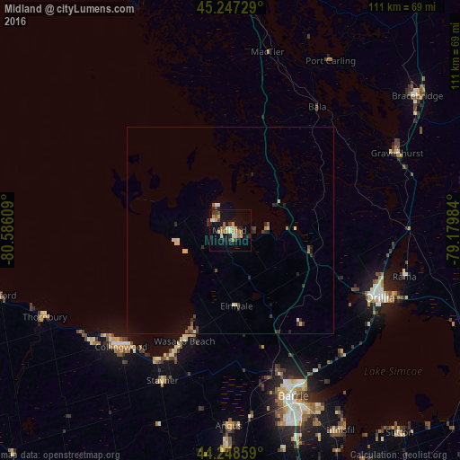
Analysis of Midland night lights 2016
Square area 10x10 km:
 1.21%
1.21%90-99
3.18%80-89
3.18%70-79
2.42%60-69
5.61%50-59
2.12%40-49
1.82%30-39
3.18%20-29
3.48%10-19
21.06%0-9
52.73%Square area 50x50 km:
0.06%90-99
0.26%80-89
0.39%70-79
0.16%60-69
0.26%50-59
0.22%40-49
0.24%30-39
0.46%20-29
0.54%10-19
1.04%0-9
96.38%Clear (daylight) street map image can be seen on geolist.org.
Map coordinates:
45° 14' 50.2" North, 80° 35' 9.9" West
44° 45' 0.4" North, 79° 52' 58.7" West
44° 14' 54.9" North, 79° 10' 47.4" West
Some cities around Midland sort by population:
• Barrie
42.5 km =26.4 mi,  156°
156°
• Orillia
39.8 km =24.7 mi,  113°
113°
• Collingwood
39.7 km =24.7 mi,  221°
221°
• Angus
48.2 km =30 mi,  179°
179°
• Bracebridge
54.6 km =33.9 mi,  54°
54°
• Wasaga Beach
28 km =17.4 mi,  202°
202°
• Innisfil
53.3 km =33.1 mi, 159°
• Gravenhurst
44.8 km =27.8 mi,  65°
65°
6073363 (p: 24,353)
Sources (retrieved 2019-11-25):
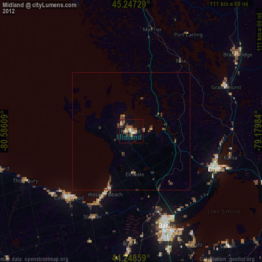
» Earth at Night: Flat Maps 2012, 2016