Gravenhurst night lights from space
Night Light of Gravenhurst (Ontario) from space (Canada) Src. Average luminocity for 10x10km area is 7.2683% and for 50x50km: 1.1026%.
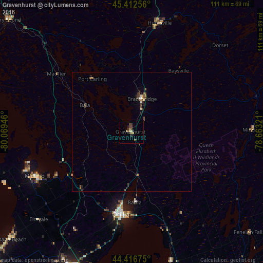
Analysis of Gravenhurst night lights 2016
Square area 10x10 km:
 0%
0%90-99
0.16%80-89
1.75%70-79
0.95%60-69
0.95%50-59
0.63%40-49
3.17%30-39
1.27%20-29
2.54%10-19
1.27%0-9
87.3%Square area 50x50 km:
0.03%90-99
0.09%80-89
0.1%70-79
0.15%60-69
0.12%50-59
0.23%40-49
0.41%30-39
0.26%20-29
0.29%10-19
0.15%0-9
98.16%Clear (daylight) street map image can be seen on geolist.org.
Map coordinates:
45° 24' 45.2" North, 80° 4' 10.1" West
44° 55' 0.5" North, 79° 21' 58.8" West
44° 25' 0.3" North, 78° 39' 47.6" West
Some cities around Gravenhurst sort by population:
• Barrie
62.2 km =38.6 mi,  202°
202°
• Orillia
34.5 km =21.4 mi,  187°
187°
• Midland
44.8 km =27.8 mi,  245°
245°
• Huntsville
47.8 km =29.7 mi,  14°
14°
• Bracebridge
13.5 km =8.4 mi,  16°
16°
• Wasaga Beach
67.9 km =42.2 mi,  229°
229°
• Innisfil
72.1 km =44.8 mi, 198°
• Parry Sound
71 km =44.1 mi,  312°
312°
5965546 (p: 5,839)
Sources (retrieved 2019-11-25):
» Earth at Night: Flat Maps 2012, 2016