Barrie night lights from space
Night Light of Barrie (Ontario) from space (Canada) Src. Average luminocity for 10x10km area is 55.2825% and for 50x50km: 9.6311%.
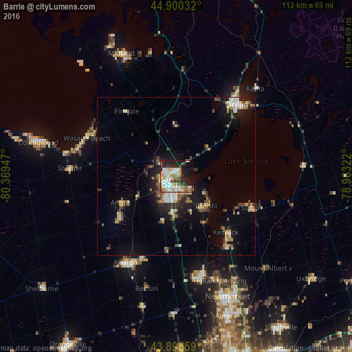
Analysis of Barrie night lights 2016
Square area 10x10 km:
 11.9%
11.9%90-99
14.13%80-89
8.1%70-79
6.67%60-69
6.83%50-59
6.35%40-49
3.17%30-39
6.35%20-29
14.29%10-19
17.46%0-9
4.76%Square area 50x50 km:
1.05%90-99
1.45%80-89
1.29%70-79
1.06%60-69
1.17%50-59
1.31%40-49
1.21%30-39
1.53%20-29
2.95%10-19
6.46%0-9
80.52%Clear (daylight) street map image can be seen on geolist.org.
Map coordinates:
44° 54' 1.2" North, 80° 22' 10.1" West
44° 24' 0.4" North, 79° 39' 58.8" West
43° 53' 44.1" North, 78° 57' 47.6" West
Some cities around Barrie sort by population:
• Newmarket
42.1 km =26.2 mi,  157°
157°
• Orillia
30.3 km =18.8 mi,  40°
40°
• East Gwillimbury
37.9 km =23.5 mi,  151°
151°
• Keswick
23.1 km =14.4 mi,  136°
136°
• Alliston
32 km =19.9 mi,  209°
209°
• Angus
19.6 km =12.2 mi,  241°
241°
• Wasaga Beach
30.7 km =19.1 mi,  295°
295°
• Innisfil
11.2 km =7 mi,  173°
173°
5894171 (p: 182,041)
Sources (retrieved 2019-11-25):
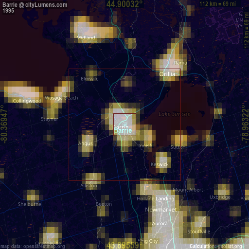
» NASA, Earths city lights 1995
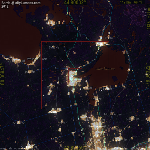
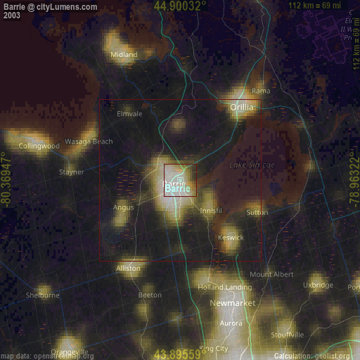
» NASA city lights 2003
» Earth at Night: Flat Maps 2012, 2016