Oshawa night lights from space
Night Light of Oshawa (Ontario) from space (Canada) Src. Average luminocity for 10x10km area is 81.4587% and for 50x50km: 17.0313%.
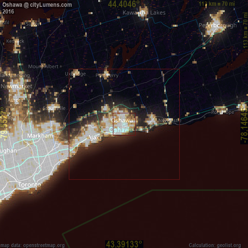
Analysis of Oshawa night lights 2016
Square area 10x10 km:
 24.76%
90-99
26.03%80-89
12.86%70-79
12.54%60-69
7.78%50-59
4.92%40-49
2.22%30-39
3.33%20-29
4.92%10-19
0.63%0-9
0%Square area 50x50 km:
3.04%90-99
3.64%80-89
2.33%70-79
1.99%60-69
1.61%50-59
1.83%40-49
1.99%30-39
2.62%20-29
5.05%10-19
7.97%0-9
67.94%Clear (daylight) street map image can be seen on geolist.org.
Map coordinates:
44° 24' 16.6" North, 79° 33' 9.7" West
43° 54' 0.4" North, 78° 50' 58.5" West
43° 23' 28.8" North, 78° 8' 47.2" West
Some cities around Oshawa sort by population:
• Scarborough
35.6 km =22.1 mi,  246°
246°
• Markham
33.6 km =20.9 mi,  263°
263°
• East York
44.9 km =27.9 mi,  238°
238°
• Ajax
15.7 km =9.8 mi, 249°
• Pickering
22.7 km =14.1 mi,  270°
270°
• Willowdale
46.5 km =28.9 mi, 251°
• Port Hope
38.3 km =23.8 mi,  70°
70°
• Uxbridge
30.8 km =19.1 mi,  316°
316°
6094578 (p: 308,875)
Sources (retrieved 2019-11-25):
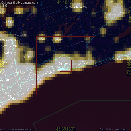
» NASA, Earths city lights 1995
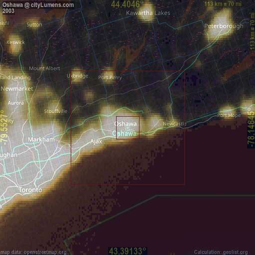
» NASA city lights 2003
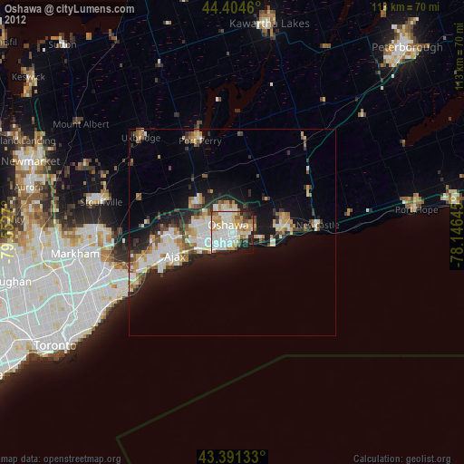
» Earth at Night: Flat Maps 2012, 2016