Ajax night lights from space
Night Light of Ajax (Ontario) from space (Canada) Src. Average luminocity for 10x10km area is 76.8952% and for 50x50km: 29.7658%.
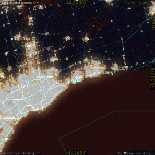
Analysis of Ajax night lights 2016
Square area 10x10 km:
 24.76%
90-99
25.56%80-89
7.3%70-79
9.05%60-69
7.94%50-59
6.51%40-49
4.92%30-39
4.13%20-29
7.78%10-19
2.06%0-9
0%Square area 50x50 km:
9.77%90-99
7.1%80-89
2.7%70-79
2.67%60-69
1.97%50-59
2.09%40-49
2.77%30-39
3.98%20-29
7.18%10-19
9.67%0-9
50.11%Clear (daylight) street map image can be seen on geolist.org.
Map coordinates:
44° 21' 18.1" North, 79° 44' 9.6" West
43° 51' 0.4" North, 79° 1' 58.4" West
43° 20' 27.2" North, 78° 19' 47.1" West
Some cities around Ajax sort by population:
• North York
32.1 km =19.9 mi,  253°
253°
• Scarborough
19.9 km =12.4 mi,  244°
244°
• Oshawa
15.7 km =9.8 mi,  69°
69°
• Markham
18.8 km =11.7 mi,  275°
275°
• East York
29.6 km =18.4 mi,  233°
233°
• Pickering
9.8 km =6.1 mi,  304°
304°
• Willowdale
30.8 km =19.1 mi, 252°
• Uxbridge
28.6 km =17.8 mi,  346°
346°
5882873 (p: 90,167)
Sources (retrieved 2019-11-25):
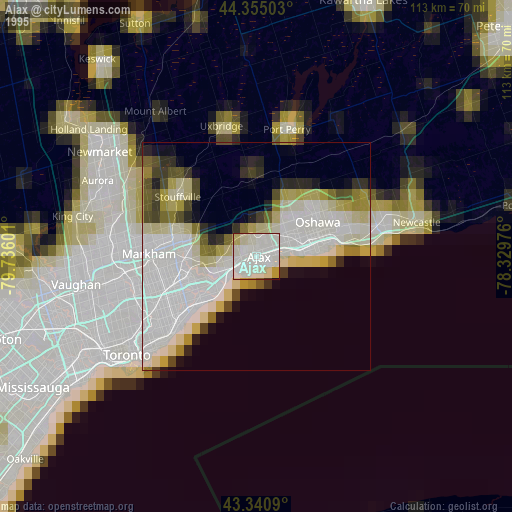
» NASA, Earths city lights 1995
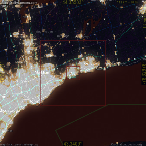
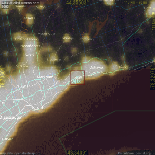
» NASA city lights 2003
» Earth at Night: Flat Maps 2012, 2016