Willowdale night lights from space
Night Light of Willowdale (Ontario) from space (Canada) Src. Average luminocity for 10x10km area is 98.8439% and for 50x50km: 59.3798%.
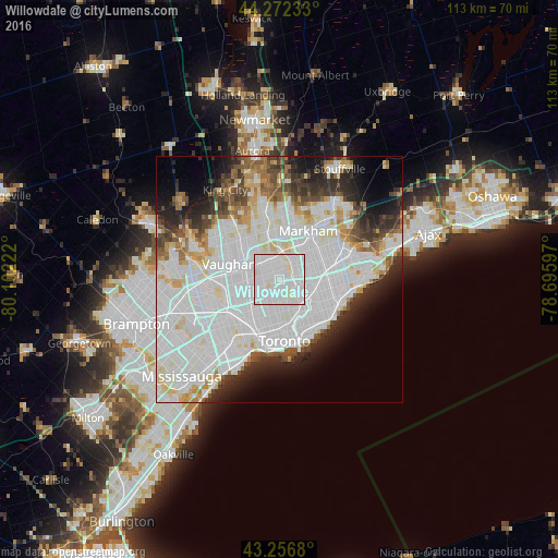
Analysis of Willowdale night lights 2016
Square area 10x10 km:
 59.85%
90-99
37.73%80-89
2.42%70-79
0%60-69
0%50-59
0%40-49
0%30-39
0%20-29
0%10-19
0%0-9
0%Square area 50x50 km:
27.06%90-99
17.22%80-89
3.93%70-79
3.21%60-69
3.15%50-59
3.25%40-49
3.94%30-39
4.06%20-29
6.21%10-19
6.73%0-9
21.23%Clear (daylight) street map image can be seen on geolist.org.
Map coordinates:
44° 16' 20.4" North, 80° 6' 8" West
43° 46' 0.2" North, 79° 23' 56.7" West
43° 15' 24.5" North, 78° 41' 45.5" West
Some cities around Willowdale sort by population:
• Toronto
7.5 km =4.7 mi,  190°
190°
• North York
1.4 km =0.9 mi,  270°
270°
• Scarborough
11.5 km =7.1 mi,  86°
86°
• Markham
15.4 km =9.6 mi,  43°
43°
• Vaughan
11.1 km =6.9 mi,  314°
314°
• Richmond Hill
12 km =7.5 mi,  345°
345°
• East York
10.2 km =6.3 mi,  145°
145°
• Concord
7.7 km =4.8 mi,  298°
298°
8558534 (p: 79,440)
Sources (retrieved 2019-11-25):
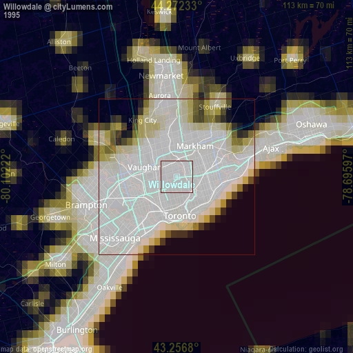
» NASA, Earths city lights 1995
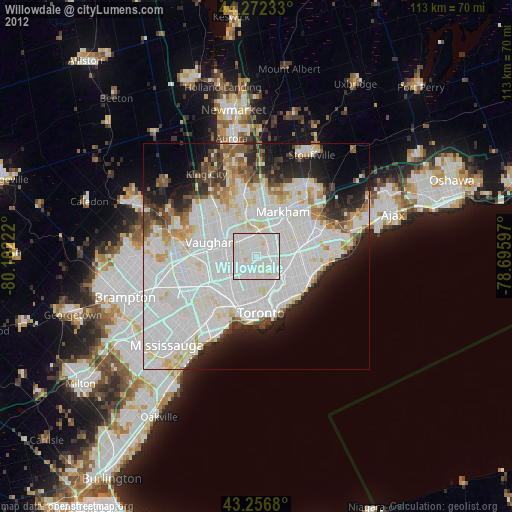
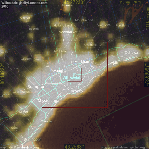
» NASA city lights 2003
» Earth at Night: Flat Maps 2012, 2016