Markham night lights from space
Night Light of Markham (Ontario) from space (Canada) Src. Average luminocity for 10x10km area is 86.2571% and for 50x50km: 50.6376%.
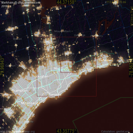
Analysis of Markham night lights 2016
Square area 10x10 km:
 27.46%
90-99
30.95%80-89
11.11%70-79
14.44%60-69
5.87%50-59
4.92%40-49
4.13%30-39
0.32%20-29
0.79%10-19
0%0-9
0%Square area 50x50 km:
21.11%90-99
13.79%80-89
3.48%70-79
3.11%60-69
3.4%50-59
3.37%40-49
4.04%30-39
4.59%20-29
6.88%10-19
8.29%0-9
27.94%Clear (daylight) street map image can be seen on geolist.org.
Map coordinates:
44° 22' 17.7" North, 79° 58' 9.9" West
43° 52' 0.6" North, 79° 15' 58.7" West
43° 21' 27.9" North, 78° 33' 47.4" West
Some cities around Markham sort by population:
• North York
16.4 km =10.2 mi,  227°
227°
• Scarborough
10.5 km =6.5 mi,  175°
175°
• Vaughan
18.9 km =11.7 mi,  259°
259°
• Richmond Hill
13.7 km =8.5 mi,  271°
271°
• Ajax
18.8 km =11.7 mi,  95°
95°
• Pickering
11.3 km =7 mi,  70°
70°
• Willowdale
15.4 km =9.6 mi,  223°
223°
• Concord
18.9 km =11.7 mi,  246°
246°
6066513 (p: 261,573)
Sources (retrieved 2019-11-25):
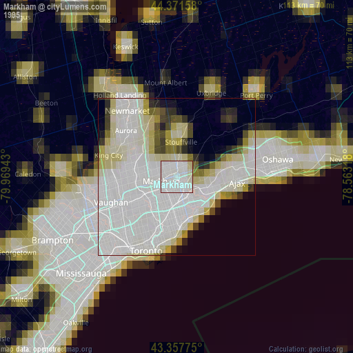
» NASA, Earths city lights 1995
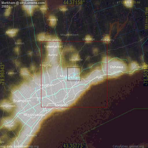
» NASA city lights 2003
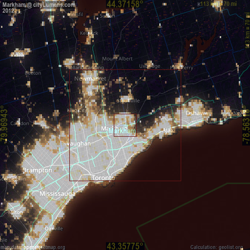
» Earth at Night: Flat Maps 2012, 2016