Bathurst night lights from space
Night Light of Bathurst (New Brunswick) from space (Canada) Src. Average luminocity for 10x10km area is 14.0432% and for 50x50km: 0.7195%.
Analysis of Bathurst night lights 2016
Square area 10x10 km:
 0.45%
0.45%90-99
1.34%80-89
2.38%70-79
1.79%60-69
3.13%50-59
3.57%40-49
2.68%30-39
1.34%20-29
1.79%10-19
3.13%0-9
78.42%Square area 50x50 km:
0.02%90-99
0.05%80-89
0.09%70-79
0.09%60-69
0.13%50-59
0.19%40-49
0.12%30-39
0.13%20-29
0.12%10-19
0.24%0-9
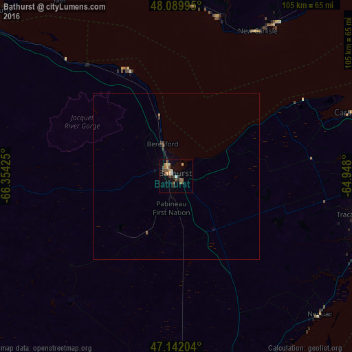
98.83%Clear (daylight) street map image can be seen on geolist.org.
Map coordinates:
48° 5' 23.8" North, 66° 21' 15.3" West
47° 37' 5.3" North, 65° 39' 4" West
47° 8' 31.3" North, 64° 56' 52.8" West
Some cities around Bathurst sort by population:
• Moncton
181.4 km =112.7 mi,  159°
159°
• Miramichi
66.5 km =41.3 mi,  170°
170°
• Lutes Mountain
174.3 km =108.3 mi, 161°
• Gaspé
160.5 km =99.7 mi,  32°
32°
• Chandler
108.8 km =67.6 mi,  41°
41°
• Campbellton
87.7 km =54.5 mi,  299°
299°
• Amqui
162.3 km =100.8 mi,  305°
305°
• Sainte-Anne-des-Monts
178.6 km =111 mi,  339°
339°
6696259 (p: 12,714)
Sources (retrieved 2019-11-25):
» Earth at Night: Flat Maps 2012, 2016