Ladner night lights from space
Night Light of Ladner (British Columbia) from space (Canada) Src. Average luminocity for 10x10km area is 37.402% and for 50x50km: 31.3024%.
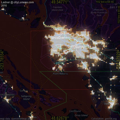
Analysis of Ladner night lights 2016
Square area 10x10 km:
 3.92%
3.92%90-99
5.74%80-89
2.24%70-79
3.08%60-69
2.8%50-59
5.6%40-49
7.56%30-39
14.99%20-29
29.41%10-19
23.25%0-9
1.4%Square area 50x50 km:
12.01%90-99
8.58%80-89
2.61%70-79
2.37%60-69
1.86%50-59
2.44%40-49
2.44%30-39
3.39%20-29
4.12%10-19
5.47%0-9
54.7%Clear (daylight) street map image can be seen on geolist.org.
Map coordinates:
49° 32' 51.8" North, 123° 47' 7.9" West
49° 5' 21.8" North, 123° 4' 56.7" West
48° 37' 36.4" North, 122° 22' 45.4" West
Some cities around Ladner sort by population:
• Vancouver
18 km =11.2 mi,  351°
351°
• Surrey
18.8 km =11.7 mi,  84°
84°
• Burnaby
21.8 km =13.5 mi,  25°
25°
• Richmond
9.8 km =6.1 mi,  336°
336°
• Delta
14.1 km =8.8 mi,  64°
64°
• White Rock
21.9 km =13.6 mi,  111°
111°
• New Westminster
18.1 km =11.2 mi,  43°
43°
• Tsawwassen
8.1 km =5 mi,  180°
180°
7602078 (p: 200,000)
Sources (retrieved 2019-11-25):
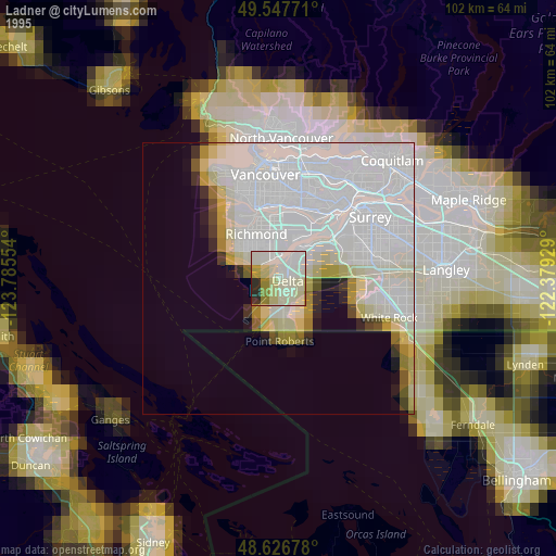
» NASA, Earths city lights 1995
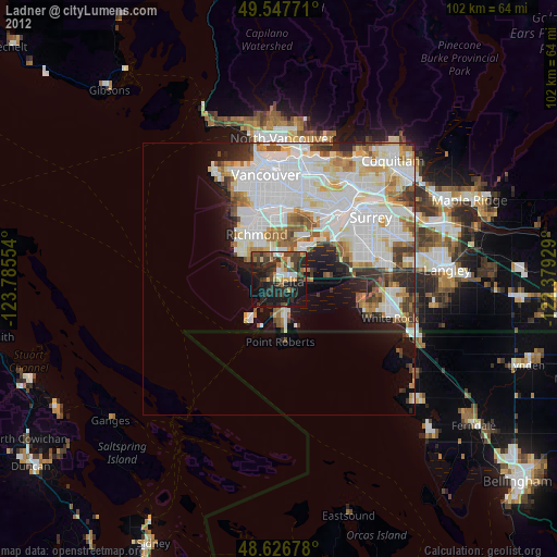
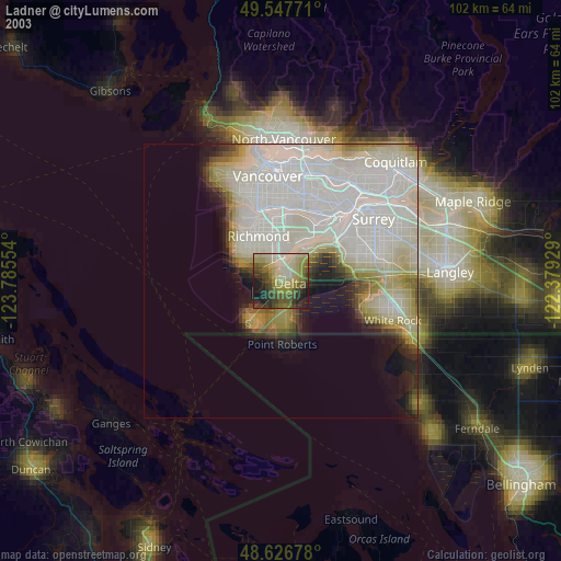
» NASA city lights 2003
» Earth at Night: Flat Maps 2012, 2016