White Rock night lights from space
Night Light of White Rock (British Columbia) from space (Canada) Src. Average luminocity for 10x10km area is 43.1012% and for 50x50km: 28.9833%.
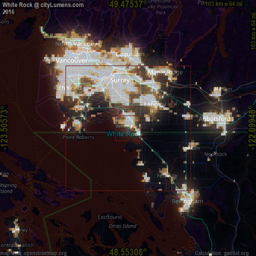
Analysis of White Rock night lights 2016
Square area 10x10 km:
 9.23%
9.23%90-99
9.38%80-89
4.46%70-79
5.95%60-69
5.06%50-59
3.27%40-49
4.32%30-39
6.55%20-29
15.33%10-19
21.58%0-9
14.88%Square area 50x50 km:
9.29%90-99
7.02%80-89
2.21%70-79
2.23%60-69
2.01%50-59
2.74%40-49
3.46%30-39
4.63%20-29
5.24%10-19
7.85%0-9
53.31%Clear (daylight) street map image can be seen on geolist.org.
Map coordinates:
49° 28' 31.3" North, 123° 30' 20.6" West
49° 0' 58.9" North, 122° 48' 9.4" West
48° 33' 11.1" North, 122° 5' 58.1" West
Some cities around White Rock sort by population:
• Surrey
10.1 km =6.3 mi,  350°
350°
• Ladner
21.9 km =13.6 mi,  291°
291°
• Delta
16.1 km =10 mi,  331°
331°
• Walnut Grove
20.3 km =12.6 mi,  35°
35°
• Langley
14.1 km =8.8 mi,  48°
48°
• Tsawwassen
20.5 km =12.7 mi,  270°
270°
• Birch Bay, US
11.7 km =7.3 mi,  158°
158°
• Blaine, US
4.8 km =3 mi,  121°
121°
6180961 (p: 66,450)
Sources (retrieved 2019-11-25):
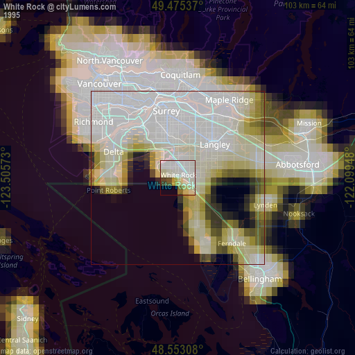
» NASA, Earths city lights 1995
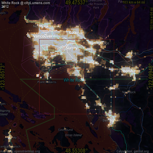
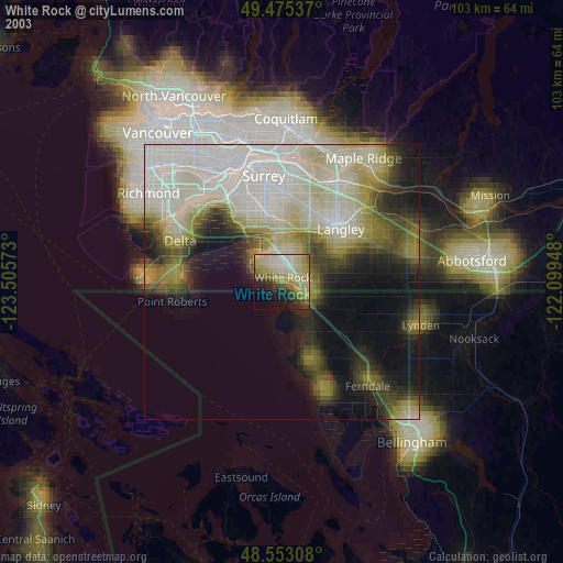
» NASA city lights 2003
» Earth at Night: Flat Maps 2012, 2016