Burnaby night lights from space
Night Light of Burnaby (British Columbia) from space (Canada) Src. Average luminocity for 10x10km area is 82.3824% and for 50x50km: 38.205%.
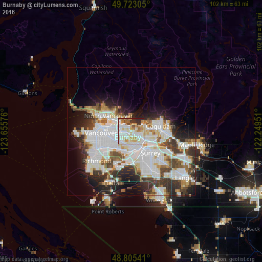
Analysis of Burnaby night lights 2016
Square area 10x10 km:
 24.87%
90-99
29.95%80-89
11.76%70-79
11.76%60-69
5.21%50-59
5.21%40-49
1.47%30-39
5.08%20-29
4.68%10-19
0%0-9
0%Square area 50x50 km:
13.32%90-99
10%80-89
3.21%70-79
2.98%60-69
2.67%50-59
3.32%40-49
3.75%30-39
4.99%20-29
6.91%10-19
8.02%0-9
40.81%Clear (daylight) street map image can be seen on geolist.org.
Map coordinates:
49° 43' 23" North, 123° 39' 20.7" West
49° 15' 58.9" North, 122° 57' 9.5" West
48° 48' 19.5" North, 122° 14' 58.2" West
Some cities around Burnaby sort by population:
• Vancouver
12.2 km =7.6 mi,  261°
261°
• Coquitlam
12.5 km =7.8 mi,  80°
80°
• Delta
14 km =8.7 mi,  166°
166°
• New Westminster
7.3 km =4.5 mi,  155°
155°
• Port Coquitlam
13.3 km =8.3 mi,  89°
89°
• North Vancouver
10.1 km =6.3 mi,  303°
303°
• West End
13.2 km =8.2 mi,  278°
278°
• Port Moody
9.4 km =5.8 mi, 79°
5911606 (p: 202,799)
Sources (retrieved 2019-11-25):
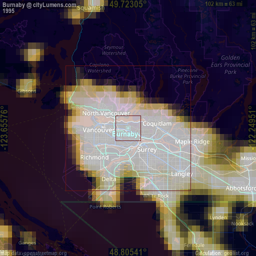
» NASA, Earths city lights 1995
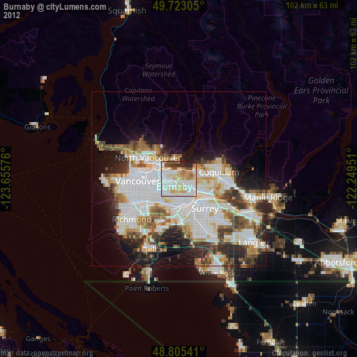
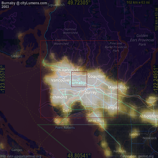
» NASA city lights 2003
» Earth at Night: Flat Maps 2012, 2016