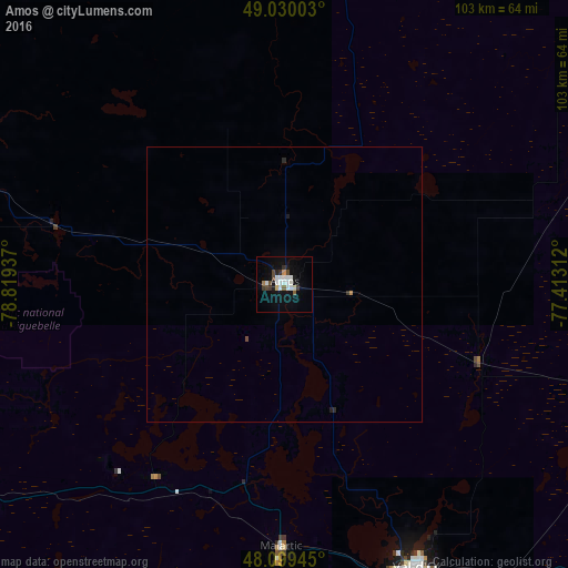
Amos night lights from space
Night Light of Amos (Quebec) from space (Canada) Src. Average luminocity for 10x10km area is 17.8363% and for 50x50km: 0.778%.
Analysis of Amos night lights 2016
Square area 10x10 km:
 4.32%
4.32%90-99
4.32%80-89
0.74%70-79
0.74%60-69
0.6%50-59
1.19%40-49
2.98%30-39
2.23%20-29
1.49%10-19
12.5%0-9
68.9%Square area 50x50 km:
0.17%90-99
0.17%80-89
0.03%70-79
0.03%60-69
0.05%50-59
0.05%40-49
0.14%30-39
0.11%20-29
0.11%10-19
0.51%0-9
98.65%Clear (daylight) street map image can be seen on geolist.org.
Map coordinates:
49° 1' 48.1" North, 78° 49' 9.7" West
48° 34' 0.8" North, 78° 6' 58.5" West
48° 5' 58" North, 77° 24' 47.2" West
Some cities around Amos sort by population:
• North Bay
270 km =167.8 mi,  202°
202°
• Timmins
237.2 km =147.4 mi,  267°
267°
• Val-d'Or
57.3 km =35.6 mi,  155°
155°
• Rouyn-Noranda
76.4 km =47.5 mi,  241°
241°
• Mont-Laurier
298 km =185.2 mi,  138°
138°
• Temiskaming Shores
168.4 km =104.6 mi,  224°
224°
• Kirkland Lake
149.5 km =92.9 mi,  251°
251°
• La Sarre
83.7 km =52 mi,  288°
288°
5884588 (p: 17,918)
Sources (retrieved 2019-11-25):
» Earth at Night: Flat Maps 2012, 2016