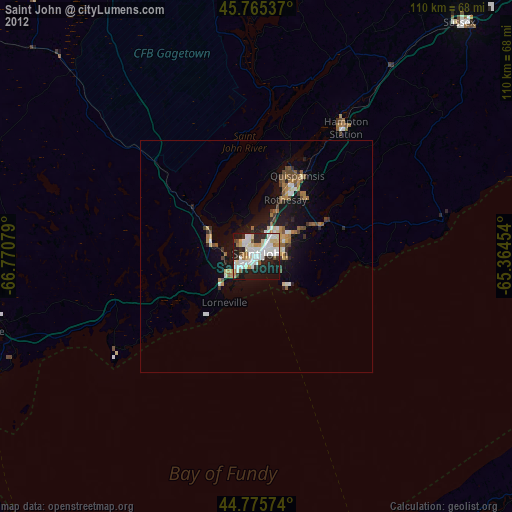
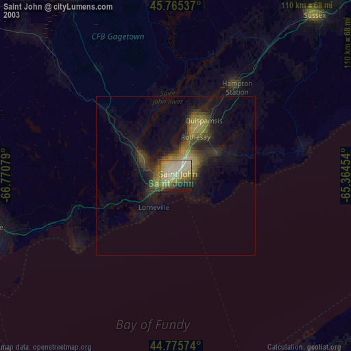
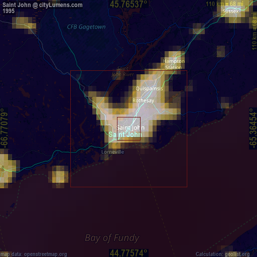
Saint John night lights from space
Night Light of Saint John (New Brunswick) from space (Canada) Src. Average luminocity for 10x10km area is 56.4242% and for 50x50km: 4.423%.

Analysis of Saint John night lights 2016
Square area 10x10 km:
 16.52%
90-99
16.97%80-89
5%70-79
6.97%60-69
0.76%50-59
3.18%40-49
4.85%30-39
5.3%20-29
20.45%10-19
18.79%0-9
1.21%Square area 50x50 km:
0.7%90-99
0.79%80-89
0.51%70-79
0.5%60-69
0.34%50-59
0.55%40-49
0.41%30-39
0.41%20-29
1.55%10-19
3.9%0-9
90.36%Clear (daylight) street map image can be seen on geolist.org.
Map coordinates:
45° 45' 55.3" North, 66° 46' 14.8" West
45° 16' 21.8" North, 66° 4' 3.6" West
44° 46' 32.7" North, 65° 21' 52.3" West
Some cities around Saint John sort by population:
• Moncton
134.5 km =83.6 mi,  47°
47°
• Fredericton
88.1 km =54.7 mi,  328°
328°
• Dieppe
139.7 km =86.8 mi, 50°
• Lutes Mountain
131.7 km =81.8 mi,  43°
43°
• Kentville
125.1 km =77.7 mi,  100°
100°
• Oromocto
70.3 km =43.7 mi, 332°
• Greenwood
95.1 km =59.1 mi,  110°
110°
• Sussex
66.4 km =41.3 mi, 41°
6138517 (p: 87,857)
Sources (retrieved 2019-11-25):
» NASA, Earths city lights 1995
» NASA city lights 2003
» Earth at Night: Flat Maps 2012, 2016