Fort McMurray night lights from space
Night Light of Fort McMurray (Alberta) from space (Canada) Src. Average luminocity for 10x10km area is 30.1905% and for 50x50km: 2.3263%.
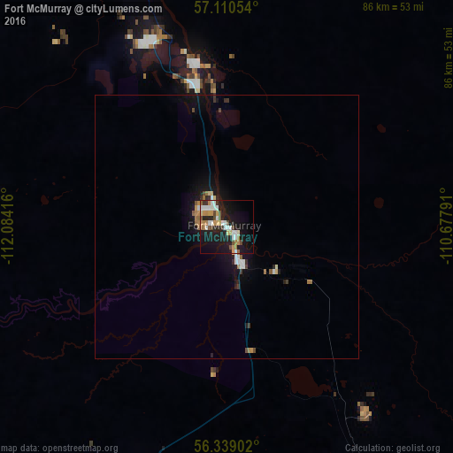
Analysis of Fort McMurray night lights 2016
Square area 10x10 km:
 5.71%
5.71%90-99
5.48%80-89
2.38%70-79
4.52%60-69
4.05%50-59
1.43%40-49
4.52%30-39
2.14%20-29
5.48%10-19
35.24%0-9
29.05%Square area 50x50 km:
0.34%90-99
0.34%80-89
0.15%70-79
0.28%60-69
0.35%50-59
0.19%40-49
0.3%30-39
0.23%20-29
0.43%10-19
2.65%0-9
94.73%Clear (daylight) street map image can be seen on geolist.org.
Map coordinates:
57° 6' 37.9" North, 112° 5' 3" West
56° 43' 36.3" North, 111° 22' 51.7" West
56° 20' 20.5" North, 110° 40' 40.5" West
Some cities around Fort McMurray sort by population:
• Cold Lake
262.5 km =163.1 mi,  163°
163°
• Morinville
355.8 km =221.1 mi,  203°
203°
• Slave Lake
264.7 km =164.5 mi,  232°
232°
• Grand Centre
267.2 km =166 mi, 164°
• Bonnyville
276.5 km =171.8 mi,  171°
171°
• St. Paul
305.1 km =189.6 mi,  178°
178°
• Vegreville
361.3 km =224.5 mi,  186°
186°
• Meadow Lake
343 km =213.1 mi,  147°
147°
5955895 (p: 76,000)
Sources (retrieved 2019-11-25):
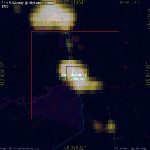
» NASA, Earths city lights 1995
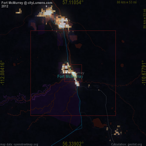
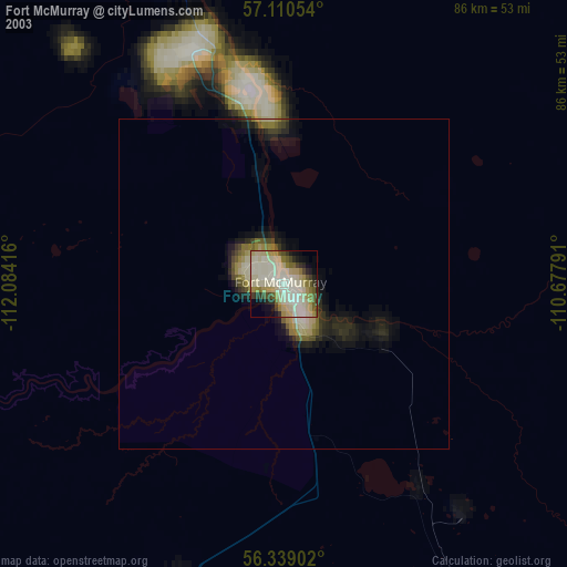
» NASA city lights 2003
» Earth at Night: Flat Maps 2012, 2016