Bonnyville night lights from space
Night Light of Bonnyville (Alberta) from space (Canada) Src. Average luminocity for 10x10km area is 7.8584% and for 50x50km: 0.383%.
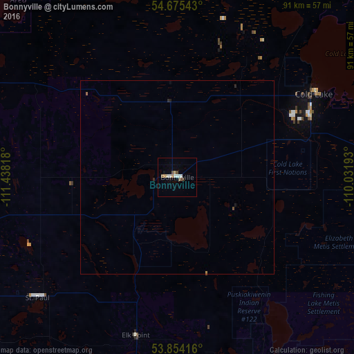
Analysis of Bonnyville night lights 2016
Square area 10x10 km:
 1.88%
1.88%90-99
1.13%80-89
1%70-79
1%60-69
0.25%50-59
0.88%40-49
1.38%30-39
0.38%20-29
0.13%10-19
1%0-9
90.98%Square area 50x50 km:
0.08%90-99
0.05%80-89
0.04%70-79
0.05%60-69
0.03%50-59
0.06%40-49
0.06%30-39
0.02%20-29
0.07%10-19
0.08%0-9
99.49%Clear (daylight) street map image can be seen on geolist.org.
Map coordinates:
54° 40' 31.5" North, 111° 26' 17.4" West
54° 16' 0.6" North, 110° 44' 6.2" West
53° 51' 15" North, 110° 1' 54.9" West
Some cities around Bonnyville sort by population:
• Lloydminster
120.1 km =74.6 mi,  157°
157°
• Fort Saskatchewan
173.5 km =107.8 mi,  249°
249°
• Cold Lake
42.1 km =26.2 mi,  58°
58°
• Grand Centre
37.7 km =23.4 mi, 63°
• St. Paul
47.7 km =29.6 mi,  228°
228°
• Vegreville
121.3 km =75.4 mi, 225°
• Wainwright
159.4 km =99 mi,  182°
182°
• Meadow Lake
150.3 km =93.4 mi,  95°
95°
5905616 (p: 6,003)
Sources (retrieved 2019-11-25):
» Earth at Night: Flat Maps 2012, 2016