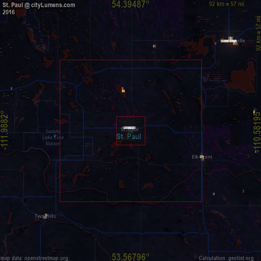
St. Paul night lights from space
Night Light of St. Paul (Alberta) from space (Canada) Src. Average luminocity for 10x10km area is 4.5947% and for 50x50km: 0.252%.
Analysis of St. Paul night lights 2016
Square area 10x10 km:
 1.39%
1.39%90-99
1.64%80-89
0%70-79
0.13%60-69
0.38%50-59
0.51%40-49
0%30-39
0%20-29
0%10-19
1.01%0-9
94.95%Square area 50x50 km:
0.06%90-99
0.08%80-89
0.02%70-79
0.03%60-69
0.02%50-59
0.03%40-49
0.01%30-39
0.02%20-29
0.02%10-19
0.04%0-9
99.69%Clear (daylight) street map image can be seen on geolist.org.
Map coordinates:
54° 23' 41.5" North, 111° 59' 17.5" West
53° 59' 0.5" North, 111° 17' 6.3" West
53° 34' 4.7" North, 110° 34' 55" West
Some cities around St. Paul sort by population:
• Sherwood Park
143.4 km =89.1 mi,  248°
248°
• Lloydminster
114.8 km =71.3 mi,  133°
133°
• Fort Saskatchewan
130.2 km =80.9 mi,  256°
256°
• Cold Lake
89.5 km =55.6 mi,  53°
53°
• Grand Centre
84.7 km =52.6 mi,  55°
55°
• Bonnyville
47.7 km =29.6 mi, 48°
• Vegreville
73.7 km =45.8 mi,  223°
223°
• Wainwright
130.9 km =81.3 mi,  167°
167°
6157795 (p: 5,728)
Sources (retrieved 2019-11-25):
» Earth at Night: Flat Maps 2012, 2016