Vegreville night lights from space
Night Light of Vegreville (Alberta) from space (Canada) Src. Average luminocity for 10x10km area is 6.9643% and for 50x50km: 0.3448%.
Analysis of Vegreville night lights 2016
Square area 10x10 km:
 1.59%
1.59%90-99
1.59%80-89
0.53%70-79
0%60-69
1.06%50-59
1.06%40-49
0%30-39
0.93%20-29
0.79%10-19
0.4%0-9
92.06%Square area 50x50 km:
0.06%90-99
0.06%80-89
0.02%70-79
0%60-69
0.04%50-59
0.08%40-49
0.05%30-39
0.06%20-29
0.09%10-19
0.06%0-9
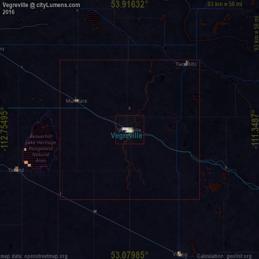
99.5%Clear (daylight) street map image can be seen on geolist.org.
Map coordinates:
53° 54' 58.8" North, 112° 45' 17.8" West
53° 30' 0.5" North, 112° 3' 6.6" West
53° 4' 47.5" North, 111° 20' 55.3" West
Some cities around Vegreville sort by population:
• Edmonton
93.8 km =58.3 mi,  273°
273°
• Sherwood Park
83.8 km =52.1 mi, 271°
• Camrose
74.9 km =46.5 mi,  224°
224°
• Fort Saskatchewan
80.7 km =50.1 mi,  287°
287°
• Silver Berry
88.1 km =54.7 mi, 266°
• Wild Rose
88 km =54.7 mi, 267°
• Beaumont
92.1 km =57.2 mi,  259°
259°
• St. Paul
73.7 km =45.8 mi,  43°
43°
6173635 (p: 5,678)
Sources (retrieved 2019-11-25):
» Earth at Night: Flat Maps 2012, 2016