Slave Lake night lights from space
Night Light of Slave Lake (Alberta) from space (Canada) Src. Average luminocity for 10x10km area is 7.5419% and for 50x50km: 0.4331%.
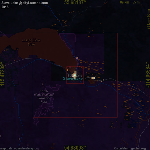
Analysis of Slave Lake night lights 2016
Square area 10x10 km:
 0.72%
0.72%90-99
0.84%80-89
0.36%70-79
0.84%60-69
2.03%50-59
2.15%40-49
2.15%30-39
0%20-29
0%10-19
0%0-9
90.91%Square area 50x50 km:
0.04%90-99
0.04%80-89
0.03%70-79
0.05%60-69
0.08%50-59
0.14%40-49
0.11%30-39
0.04%20-29
0%10-19
0%0-9
99.45%Clear (daylight) street map image can be seen on geolist.org.
Map coordinates:
55° 40' 54.7" North, 115° 28' 19.5" West
55° 17' 0.4" North, 114° 46' 8.3" West
54° 52' 51.5" North, 114° 3' 57" West
Some cities around Slave Lake sort by population:
• Edmonton
210.3 km =130.7 mi,  156°
156°
• St. Albert
197.5 km =122.7 mi, 158°
• Spruce Grove
202.2 km =125.6 mi, 164°
• Fort Saskatchewan
200.9 km =124.8 mi,  150°
150°
• Stony Plain
200.8 km =124.8 mi,  165°
165°
• Whitecourt
139.1 km =86.4 mi,  205°
205°
• Morinville
180 km =111.8 mi, 156°
• Peace River
190.1 km =118.1 mi,  303°
303°
6149374 (p: 7,661)
Sources (retrieved 2019-11-25):
» Earth at Night: Flat Maps 2012, 2016