Selkirk night lights from space
Night Light of Selkirk (Manitoba) from space (Canada) Src. Average luminocity for 10x10km area is 18.123% and for 50x50km: 6.2884%.
Analysis of Selkirk night lights 2016
Square area 10x10 km:
 2.94%
2.94%90-99
4.55%80-89
0.27%70-79
1.34%60-69
2.27%50-59
1.87%40-49
1.34%30-39
2.01%20-29
2.14%10-19
17.91%0-9
63.37%Square area 50x50 km:
1.42%90-99
1.22%80-89
0.62%70-79
0.49%60-69
0.7%50-59
0.85%40-49
0.89%30-39
1.03%20-29
1.5%10-19
2.66%0-9
88.62%Clear (daylight) street map image can be seen on geolist.org.
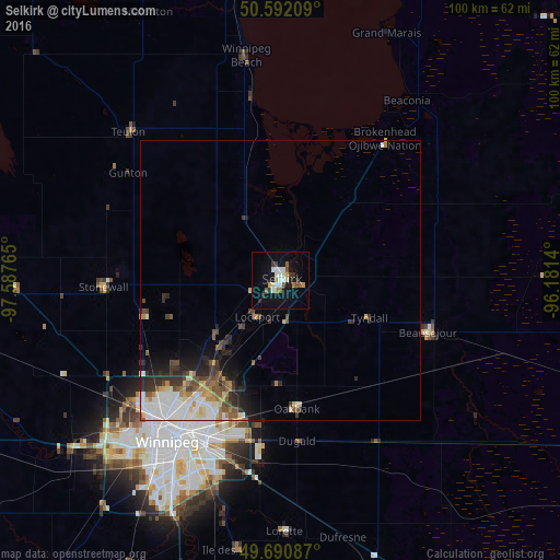
Map coordinates:
50° 35' 31.5" North, 97° 35' 15.5" West
50° 8' 37" North, 96° 53' 4.3" West
49° 41' 27.1" North, 96° 10' 53" West
Some cities around Selkirk sort by population:
• Winnipeg
34.4 km =21.4 mi,  213°
213°
• Brandon
221.8 km =137.8 mi,  261°
261°
• Kenora
176.3 km =109.5 mi,  103°
103°
• Portage la Prairie
102.3 km =63.6 mi, 259°
• Steinbach
70.2 km =43.6 mi,  168°
168°
• Thief River Falls, US
230.8 km =143.4 mi, 167°
• Winkler
131.2 km =81.5 mi,  215°
215°
• Morden
137.3 km =85.3 mi, 219°
6144054 (p: 9,653)
Sources (retrieved 2019-11-25):
» Earth at Night: Flat Maps 2012, 2016