Antigonish night lights from space
Night Light of Antigonish (Nova Scotia) from space (Canada) Src. Average luminocity for 10x10km area is 8.1106% and for 50x50km: 0.3636%.
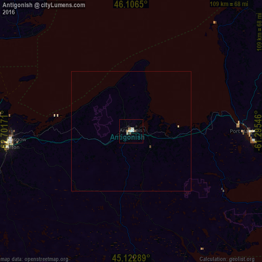
Analysis of Antigonish night lights 2016
Square area 10x10 km:
 1.21%
1.21%90-99
2.58%80-89
0.45%70-79
0.61%60-69
0.61%50-59
0.76%40-49
1.06%30-39
0.61%20-29
1.21%10-19
0.61%0-9
90.3%Square area 50x50 km:
0.05%90-99
0.11%80-89
0.03%70-79
0.02%60-69
0.02%50-59
0.05%40-49
0.04%30-39
0.02%20-29
0.05%10-19
0.02%0-9
99.57%Clear (daylight) street map image can be seen on geolist.org.
Map coordinates:
46° 6' 23.4" North, 62° 42' 6.2" West
45° 37' 0.7" North, 61° 59' 54.9" West
45° 7' 22.4" North, 61° 17' 43.7" West
Some cities around Antigonish sort by population:
• Sydney
151.9 km =94.4 mi,  67°
67°
• Charlottetown
111.8 km =69.5 mi,  308°
308°
• Truro
102.6 km =63.8 mi,  254°
254°
• Cole Harbour
156.3 km =97.1 mi,  227°
227°
• New Glasgow
50.7 km =31.5 mi,  265°
265°
• Fall River
154.8 km =96.2 mi, 234°
• Sydney Mines
154 km =95.7 mi,  63°
63°
• Princeville
56.9 km =35.4 mi, 72°
5886182 (p: 5,003)
Sources (retrieved 2019-11-25):
» Earth at Night: Flat Maps 2012, 2016