Brant night lights from space
Night Light of Brant (Ontario) from space (Canada) Src. Average luminocity for 10x10km area is 26.2242% and for 50x50km: 7.8634%.
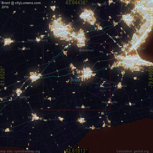
Analysis of Brant night lights 2016
Square area 10x10 km:
 1.82%
1.82%90-99
3.33%80-89
3.94%70-79
3.03%60-69
4.7%50-59
2.12%40-49
5%30-39
5.45%20-29
10.3%10-19
23.03%0-9
37.27%Square area 50x50 km:
0.98%90-99
1.45%80-89
1.01%70-79
0.57%60-69
1.01%50-59
0.72%40-49
0.76%30-39
1.06%20-29
3.14%10-19
6.05%0-9
83.26%Clear (daylight) street map image can be seen on geolist.org.
Map coordinates:
43° 38' 39.7" North, 81° 3' 10.1" West
43° 8' 0.2" North, 80° 20' 58.8" West
42° 37' 5.3" North, 79° 38' 47.6" West
Some cities around Brant sort by population:
• Kitchener
35 km =21.7 mi,  338°
338°
• Cambridge
25.4 km =15.8 mi,  6°
6°
• Waterloo
39.4 km =24.5 mi, 340°
• Norfolk County
33.5 km =20.8 mi,  184°
184°
• Woodstock
32.5 km =20.2 mi,  269°
269°
• Ancaster
30.9 km =19.2 mi,  72°
72°
• Simcoe
33.6 km =20.9 mi,  173°
173°
• Paris
7.9 km =4.9 mi, 339°
5907983 (p: 34,415)
Sources (retrieved 2019-11-25):
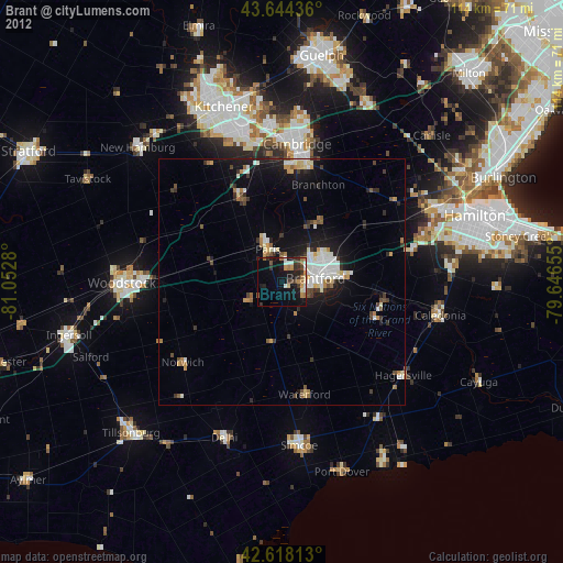
» Earth at Night: Flat Maps 2012, 2016