Woodstock night lights from space
Night Light of Woodstock (Ontario) from space (Canada) Src. Average luminocity for 10x10km area is 41.9864% and for 50x50km: 5.2509%.
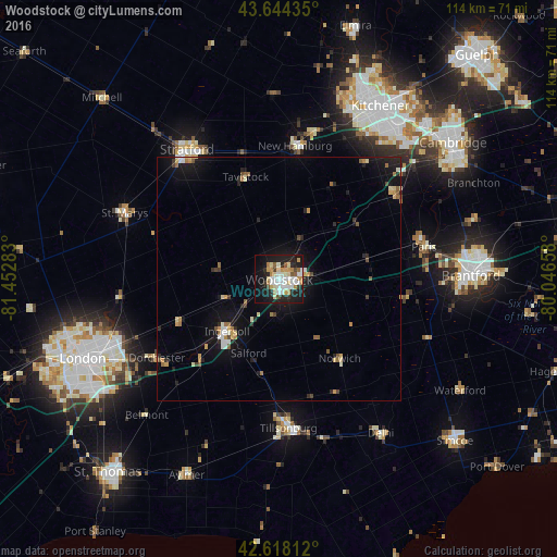
Analysis of Woodstock night lights 2016
Square area 10x10 km:
 8.33%
8.33%90-99
9.7%80-89
6.52%70-79
5.61%60-69
4.55%50-59
2.73%40-49
2.27%30-39
1.97%20-29
10.91%10-19
33.18%0-9
14.24%Square area 50x50 km:
0.58%90-99
0.73%80-89
0.64%70-79
0.71%60-69
0.65%50-59
0.56%40-49
0.47%30-39
0.34%20-29
1.33%10-19
4.89%0-9
89.1%Clear (daylight) street map image can be seen on geolist.org.
Map coordinates:
43° 38' 39.7" North, 81° 27' 10.2" West
43° 8' 0.2" North, 80° 44' 58.9" West
42° 37' 5.2" North, 80° 2' 47.7" West
Some cities around Woodstock sort by population:
• Kitchener
37.8 km =23.5 mi,  30°
30°
• Brantford
39.2 km =24.4 mi,  89°
89°
• Brant
32.5 km =20.2 mi, 89°
• Stratford
30.6 km =19 mi,  328°
328°
• New Hamburg
28.1 km =17.5 mi,  8°
8°
• Ingersoll
15.5 km =9.6 mi,  224°
224°
• Paris
30.6 km =19 mi,  76°
76°
• Dorchester
30.7 km =19.1 mi,  237°
237°
6184365 (p: 40,404)
Sources (retrieved 2019-11-25):
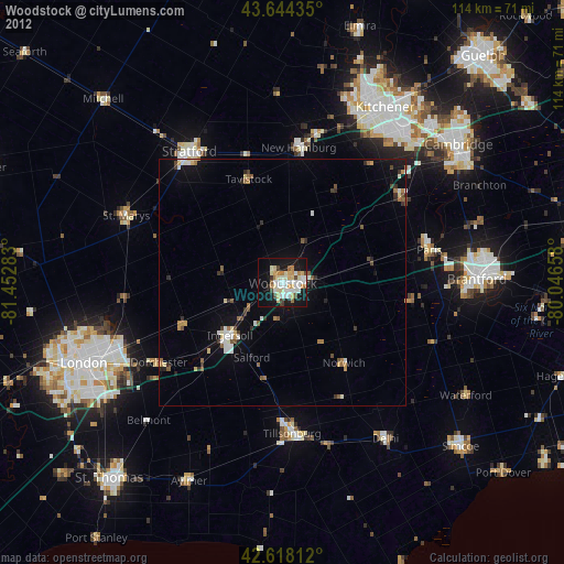
» Earth at Night: Flat Maps 2012, 2016