Kitchener night lights from space
Night Light of Kitchener (Ontario) from space (Canada) Src. Average luminocity for 10x10km area is 83.2873% and for 50x50km: 20.2881%.
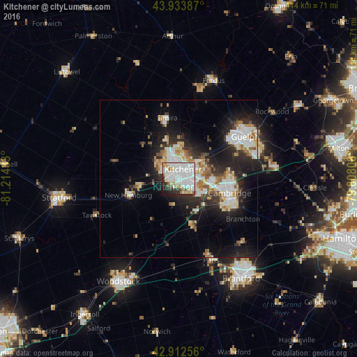
Analysis of Kitchener night lights 2016
Square area 10x10 km:
 38.89%
90-99
30.32%80-89
3.65%70-79
4.29%60-69
4.44%50-59
3.02%40-49
1.43%30-39
4.6%20-29
6.83%10-19
2.54%0-9
0%Square area 50x50 km:
4.6%90-99
4.89%80-89
1.86%70-79
1.76%60-69
2.12%50-59
1.96%40-49
1.38%30-39
2.48%20-29
6.54%10-19
10.97%0-9
61.43%Clear (daylight) street map image can be seen on geolist.org.
Map coordinates:
43° 56' 1.9" North, 81° 12' 51.6" West
43° 25' 31.3" North, 80° 30' 40.3" West
42° 54' 45.2" North, 79° 48' 29.1" West
Some cities around Kitchener sort by population:
• Cambridge
17.6 km =10.9 mi,  114°
114°
• Guelph
24.6 km =15.3 mi,  56°
56°
• Waterloo
4.6 km =2.9 mi,  354°
354°
• Woodstock
37.8 km =23.5 mi,  210°
210°
• Brant
35 km =21.7 mi,  158°
158°
• Stratford
36 km =22.4 mi,  259°
259°
• New Hamburg
15.9 km =9.9 mi,  252°
252°
• Paris
27.1 km =16.8 mi, 157°
5992996 (p: 233,700)
Sources (retrieved 2019-11-25):
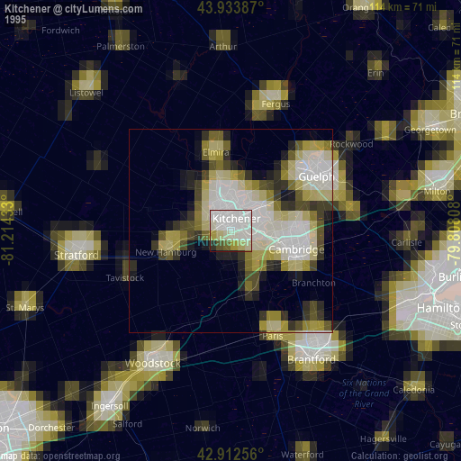
» NASA, Earths city lights 1995
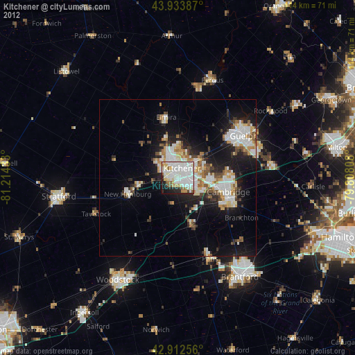
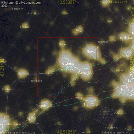
» NASA city lights 2003
» Earth at Night: Flat Maps 2012, 2016