Ancaster night lights from space
Night Light of Ancaster (Ontario) from space (Canada) Src. Average luminocity for 10x10km area is 42.9318% and for 50x50km: 24.8906%.
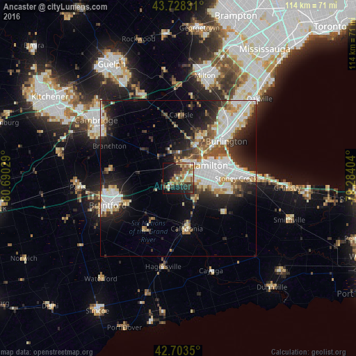
Analysis of Ancaster night lights 2016
Square area 10x10 km:
 3.18%
3.18%90-99
5.45%80-89
10.91%70-79
5.61%60-69
6.82%50-59
8.79%40-49
4.24%30-39
8.94%20-29
13.03%10-19
22.42%0-9
10.61%Square area 50x50 km:
6.15%90-99
5.8%80-89
2.75%70-79
2.17%60-69
2.36%50-59
2.58%40-49
2.28%30-39
3.59%20-29
6.59%10-19
9.64%0-9
56.07%Clear (daylight) street map image can be seen on geolist.org.
Map coordinates:
43° 43' 41.9" North, 80° 41' 25" West
43° 13' 5" North, 79° 59' 13.8" West
42° 42' 12.6" North, 79° 17' 2.5" West
Some cities around Ancaster sort by population:
• Hamilton
11.7 km =7.3 mi,  72°
72°
• Burlington
22.3 km =13.9 mi,  32°
32°
• Cambridge
30.7 km =19.1 mi,  300°
300°
• Milton
34.3 km =21.3 mi,  14°
14°
• Brantford
24.5 km =15.2 mi,  247°
247°
• Brant
30.9 km =19.2 mi, 252°
• Paris
32.2 km =20 mi,  266°
266°
• Binbrook
17.9 km =11.1 mi,  126°
126°
8285452 (p: 33,232)
Sources (retrieved 2019-11-25):
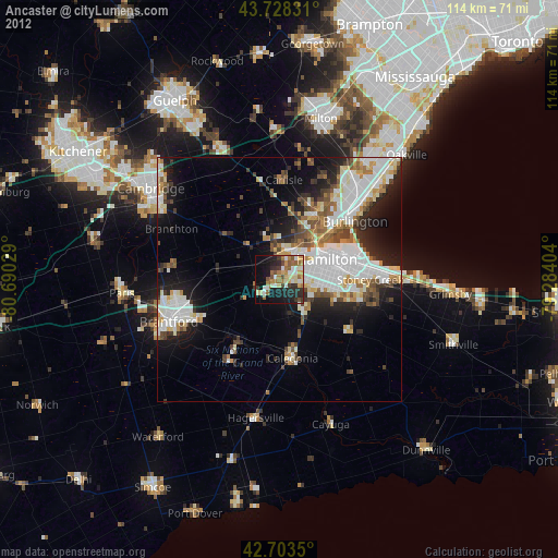
» Earth at Night: Flat Maps 2012, 2016