Cambridge night lights from space
Night Light of Cambridge (Ontario) from space (Canada) Src. Average luminocity for 10x10km area is 58.6873% and for 50x50km: 23.9605%.
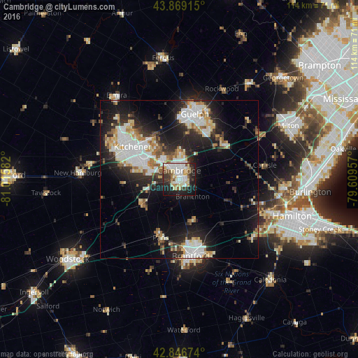

Analysis of Cambridge night lights 2016
Square area 10x10 km:
 15.56%
90-99
17.78%80-89
9.37%70-79
3.02%60-69
2.86%50-59
4.92%40-49
4.76%30-39
8.89%20-29
15.4%10-19
16.35%0-9
1.11%Square area 50x50 km:
5.31%90-99
5.67%80-89
2.42%70-79
2.07%60-69
2.54%50-59
2.08%40-49
1.82%30-39
3.26%20-29
7.86%10-19
13.16%0-9
53.8%Clear (daylight) street map image can be seen on geolist.org.
Map coordinates:
43° 52' 8.9" North, 81° 0' 57" West
43° 21' 36.4" North, 80° 18' 45.7" West
42° 50' 48.3" North, 79° 36' 34.5" West
Some cities around Cambridge sort by population:
• Kitchener
17.6 km =10.9 mi,  294°
294°
• Guelph
21.2 km =13.2 mi,  12°
12°
• Waterloo
20.3 km =12.6 mi,  305°
305°
• Brantford
25.5 km =15.8 mi,  171°
171°
• Brant
25.4 km =15.8 mi,  186°
186°
• Ancaster
30.7 km =19.1 mi,  120°
120°
• New Hamburg
31.4 km =19.5 mi,  274°
274°
• Paris
18.7 km =11.6 mi,  197°
197°
5913695 (p: 120,372)
Sources (retrieved 2019-11-25):
» NASA, Earths city lights 1995
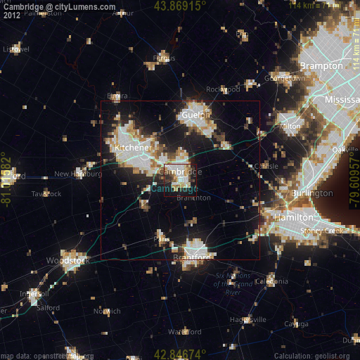
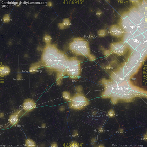
» NASA city lights 2003
» Earth at Night: Flat Maps 2012, 2016