Aylmer night lights from space
Night Light of Aylmer (Ontario) from space (Canada) Src. Average luminocity for 10x10km area is 7.8515% and for 50x50km: 8.456%.
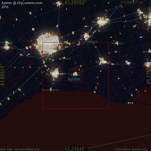
Analysis of Aylmer night lights 2016
Square area 10x10 km:
 0.15%
0.15%90-99
1.82%80-89
1.36%70-79
1.52%60-69
2.27%50-59
0.15%40-49
0%30-39
0.61%20-29
0.76%10-19
0.76%0-9
90.61%Square area 50x50 km:
1.71%90-99
2%80-89
0.99%70-79
0.67%60-69
0.91%50-59
0.69%40-49
0.75%30-39
1.03%20-29
1.73%10-19
4.97%0-9
84.55%Clear (daylight) street map image can be seen on geolist.org.
Map coordinates:
43° 16' 51" North, 81° 41' 10.1" West
42° 46' 0.4" North, 80° 58' 58.9" West
42° 14' 54.5" North, 80° 16' 47.6" West
Some cities around Aylmer sort by population:
• London
31.5 km =19.6 mi,  319°
319°
• Norfolk County
49.5 km =30.8 mi,  81°
81°
• Woodstock
45 km =28 mi,  24°
24°
• St. Thomas
16.1 km =10 mi,  272°
272°
• Brant
65.7 km =40.8 mi,  51°
51°
• Simcoe
56.2 km =34.9 mi, 82°
• Ingersoll
30.7 km =19.1 mi, 15°
• Dorchester
25 km =15.5 mi,  344°
344°
5888716 (p: 7,527)
Sources (retrieved 2019-11-25):
» Earth at Night: Flat Maps 2012, 2016